What is recorded here
Indicated is a circular earthen ringfort in West Cork, measuring twenty-four metres across with a two-metre bank that still holds its shape beside a roadway. The north interior rises slightly to compensate for the sloping ground, while overgrowth now swallows much of the inside. It belongs to the old Irish landscape of raths and fortified farms, where people shaped hills into defensible homes before maps or museums existed.
In pasture, near hilltop rising to SSE. Circular area (24.7m N-S) enclosed by earthen bank (H 1.8m). Roadway skirts bank to S. Interior raised on N side to compensate for hillslope; heavily overgrown.
The above description is derived from the published 'Archaeological Inventory of County Cork. Volume 1: West Cork' (Dublin: Stationery Office, 1992). In certain instances the entries have been revised and updated in the light of recent research.
Date of upload/revision: 14 January 2009
The monument record does not grant public access. Check the route and ask the landowner before entering private land.
- What survives
- Recorded monument
Places near here
 Burial ground in MaulmareenBurial ground · 143 yd
 IndicatedFairy fort / earthen ringfort · 271 yd
 Famine VillageRuins · 921 yd
 Trá an tAonaighBeach / strand · 1034 yd
 Drombeg Stone CircleArchaeological place · 1076 yd
 Drombeg Fulacht Fia and RuinsVisitor information · 1077 yd
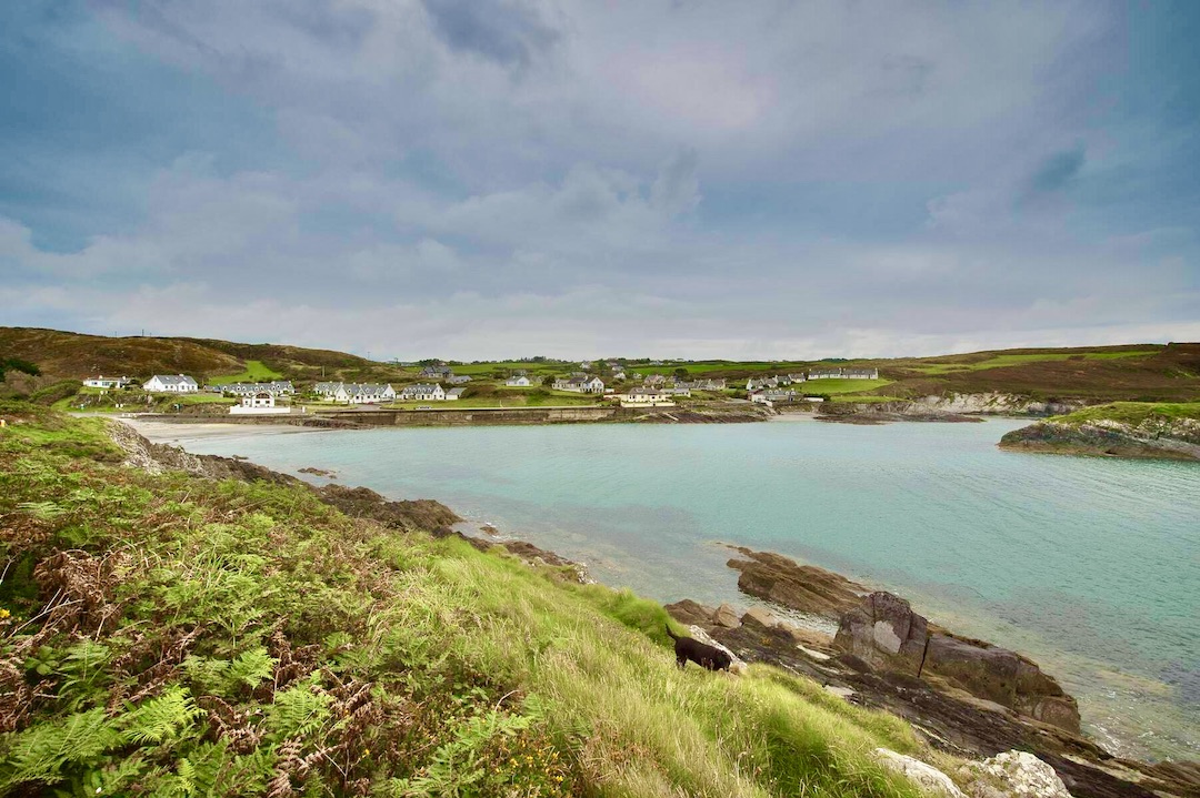 Faill na SeabhachCliff · 1160 yd
 Prison CoveBeach / strand · 1281 yd
 Country house in Drombeg (carbery E. (w.d.) By.)Country house · 1523 yd
 Walk 1 - Drombeg Standing Stone Circle (7 - 9 km)Walking route · 1707 yd
 Eve IslandIslet · 1.3 mi
 Adam's IslandIslet · 1.3 mi