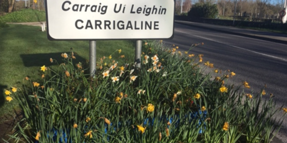
What is recorded here
Late 18th/early 19th century flour mill in Carrigaline town. Shown as L-shaped structure on 1842 OS 6-inch map. Rectangular 4-storey mill (long axis N-S), now used as a store. Roof double-half-hipped. Wooden floor intact; also remains of hoist system and winnower. Courtyard to N enclosed on three sides by additional buildings.
The above description is derived from the published 'Archaeological Inventory of County Cork. Volume 2: East and South Cork' (Dublin: Stationery Office, 1994). In certain instances the entries have been revised and updated in the light of recent research.
Date of upload/revision: 14 January 2009
The monument record does not grant public access. Check the route and ask the landowner before entering private land.
- What survives
- Recorded monument
Places near here
 Catholic Church of Our Lady and Saint Johnchurch/chapel · 209 yd
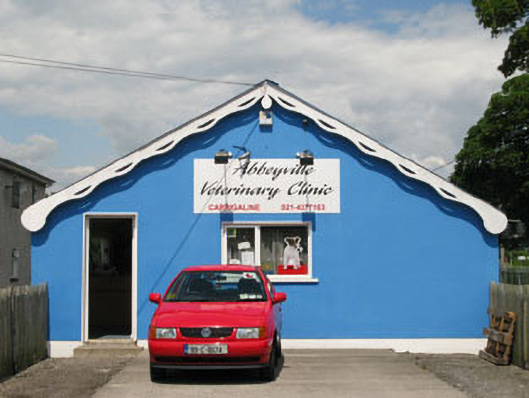 Carrigaline Railway Stationrailway station · 517 yd
 Man-made underground passage in Carrigaline MiddleMan-made underground passage · 1084 yd
 Font in Carrigaline MiddleFont · 1209 yd
 Cogan's CastleCastle · 1499 yd
 Ballea CastleCastle, tower house · 1.4 mi
 Coolmore WoodWood · 2.6 mi
 Pauper's GraveyardArchaeological place · 2.8 mi
 Mulcon ValleyWood · 3.9 mi
 Fountainstown BeachBeach / strand · 4.4 mi
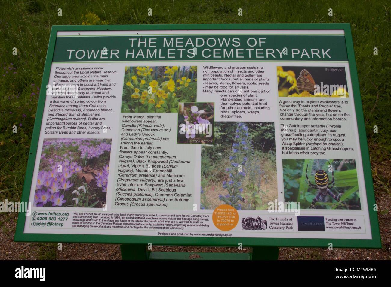 Wildlife and plant information boardsVisitor information · 4.4 mi
 Grey GalleryGallery · 4.5 mi
Other information
Photo: Credit not shown in the picture search · Rights wording not checked; contact us if this picture should be removed