
What is recorded here
Built against natural slope to S of River Blackwater. Ivy-clad random-rubble sandstone walls encase earthen core. Front elevation (H 7m; Wth c. 6.3m) faces SW; arched stone recess (H 2.4m; Wth 2.57m; D 2.8m), sloping stone slabs, one secured by iron bar, stoking hole cut into slab, lintel ope (H 0.25m; Wth 0.48m) at base. Partially infilled sandstone-lined funnel (diam. 2m).
The above description is derived from the published 'Archaeological Inventory of County Cork. Volume 4: North Cork' (Dublin: Stationery Office, 2000). In certain instances the entries have been revised and updated in the light of recent research.
Date of upload/revision: 14 January 2009
The monument record does not grant public access. Check the route and ask the landowner before entering private land.
- What survives
- Recorded monument
Places near here
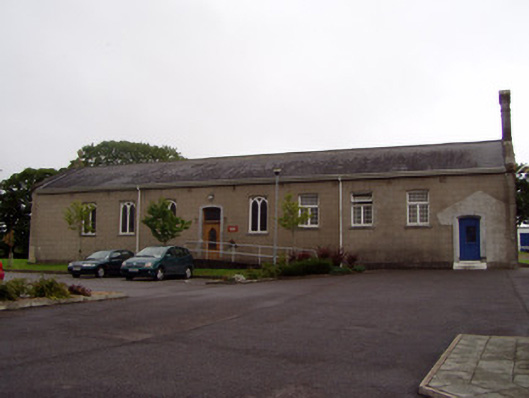 Fermoy Community Hospitalchurch/chapel · 284 yd
 Carrigabrick Castle (in Ruins)Castle, tower house · 370 yd
 Old Railway ViaductViewpoint · 395 yd
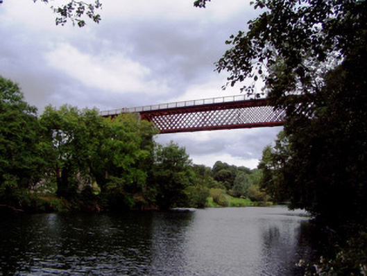 Carrigabrick Bridgeviaduct · 402 yd
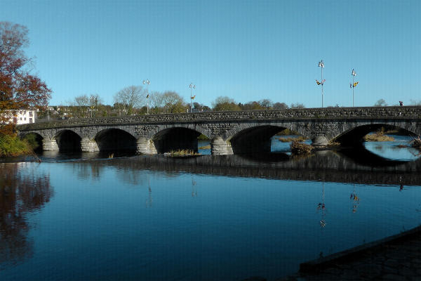 Fulacht fia in FermoyFulacht fia · 535 yd
 Pit-burial in FermoyPit-burial · 624 yd
 Licklash Castle (in Ruins)Castle, hall-house · 1274 yd
 Kent BridgeMemorial · 1509 yd
 Tourist InformationVisitor information · 1589 yd
 Graveyard in FermoyGraveyard · 1695 yd
 Strawhall WoodForest · 1.3 mi
 Ballybrack WoodForest · 1.4 mi
Other information
Photo: Credit not shown in the picture search · Rights wording not checked; contact us if this picture should be removed