What is recorded here
Situated in Creeve Lake Upper, an oval lake (max. dims c. 550m ENE-WSW; c. 220m N-S) which was once attached to Creeve Lake Lower, a subrectangular lake (dims c. 700m NW-SE; c. 17-380m NE-SW), the S end of which is c. 100m to the W. It is depicted as the more southerly of two islands only on the 1907 edition of the OS 6-inch map and is now attached to the S shore of the lake. It is an overgrown cairn (diam. c. 13m; H c. 2-2.5m) with no structural features visible. Crannog (MO024-009----) is c. 10m to the N.
The above description is derived from the published 'Archaeological Inventory of County Monaghan' (Dublin: Stationery Office, 1986). In certain instances the entries have been revised and updated in the light of recent research.
Revised by: Michael Moore
Date of revision: 9 May 2018
The monument record does not grant public access. Check the route and ask the landowner before entering private land.
- What survives
- Recorded monument
Places near here
 IndicatedCrannog · 25 yd
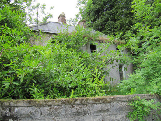 Ashgrovehouse · 982 yd
 Annahaia National Schoolschool · 1544 yd
 FprtFairy fort / earthen ringfort · 1731 yd
 Laragh WoodForest · 2.2 mi
 Knockamaddy Big WoodWood · 2.6 mi
 Lough Egish IslandIslet · 3.4 mi
 IllanshivansIslet · 3.5 mi
 Senator Billy Fox 1939 - 1974Memorial · 4.4 mi
 AghagashlanMountain / peak · 5.0 mi
 Monaghan WayWalking route · 5.3 mi
 CarrickcreenyMountain / peak · 5.4 mi