What is recorded here
Situated on a slight rise surrounded by gently undulating relatively low-lying land of poor to average pasture at the SW foot of the Rock of Curry. Modern forestry plantation nearby to the SW. Poorly drained land nearby to the SE & S. No surface remains visible of levelled earthwork. Depicted as a small field with quarry or small pond in SE quadrant and not shown as an antiquity on the 1837 ed. OS 6-inch map. Of doubtful antiquity.
Compiled by: Frank Coyne & Caimin O'Brien
Date of upload: 8 December 2016
The monument record does not grant public access. Check the route and ask the landowner before entering private land.
- What survives
- Recorded monument
Places near here
 Rock of CurryCliff · 562 yd
 Enclosure in CurryEnclosure · 624 yd
 Hut site in CarlanstownHut site · 1192 yd
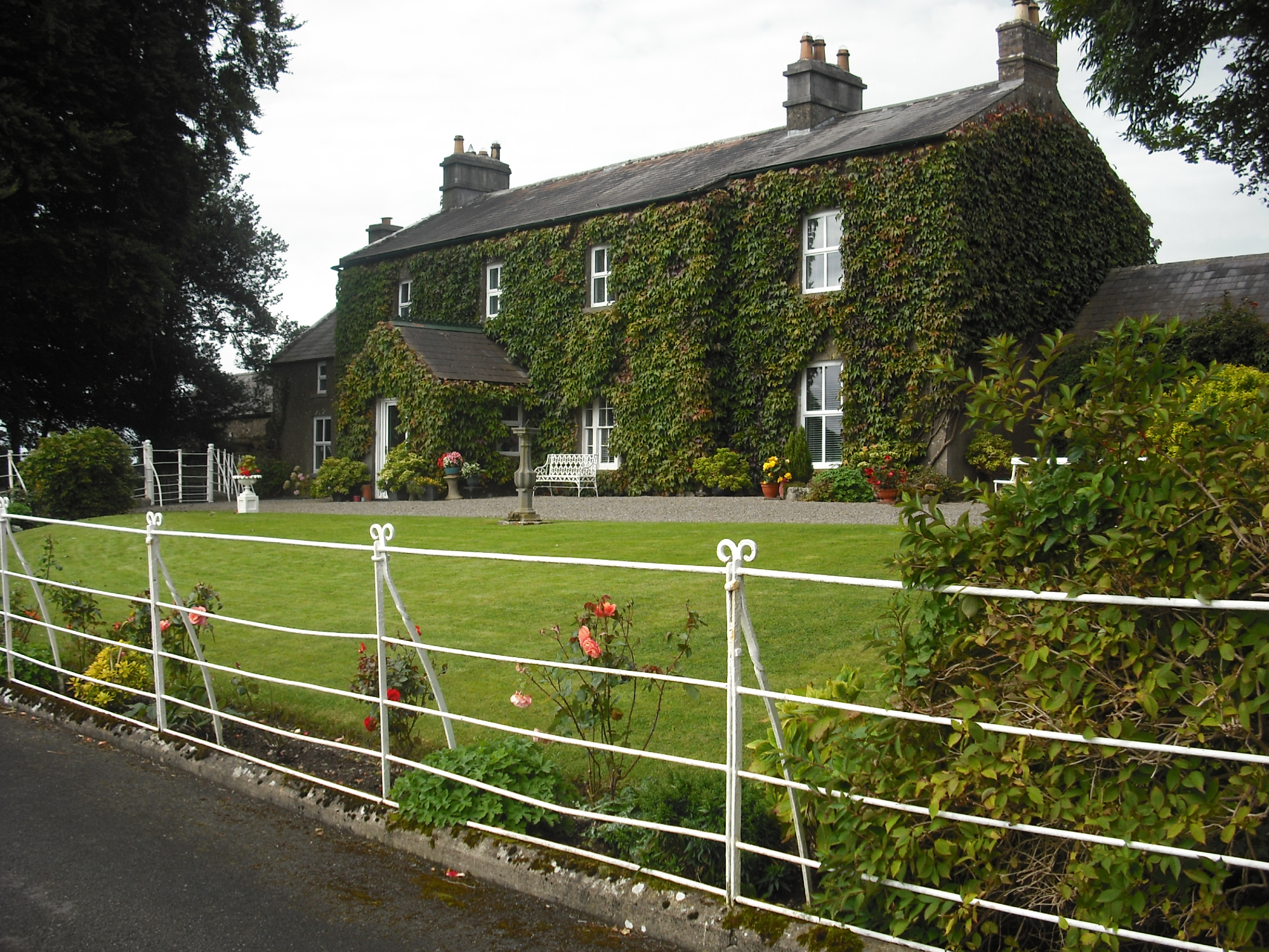 Carlanstown Housefarm house · 1415 yd
 Carlanstown CastleHouse, fortified house · 1438 yd
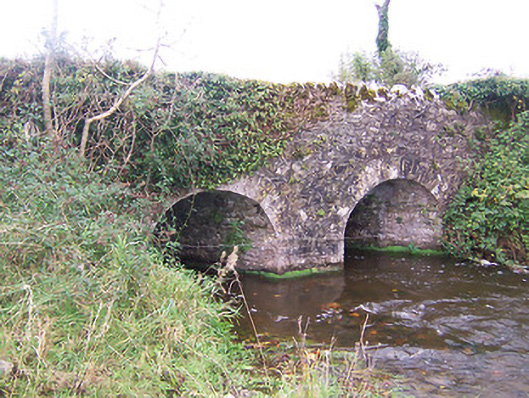 bridgebridge · 1.0 mi
 Castle (in Ruins)Castle, unclassified · 1.4 mi
 European ashEuropean ash · 2.7 mi
 Mullaghmeen White WalkWalking route · 2.7 mi
 Mullaghmeen Red WalkWalking route · 2.8 mi
 Mullaghmeen ForestPicnic place · 2.8 mi
 MullaghmeenMountain / peak · 2.9 mi