What is recorded here
Indicated is a vanished standing stone in County Cork, Ireland, recorded only in a published inventory. It stands nowhere visible, buried beneath pasture or lost to time, yet the written claim still points at an exact place on a west-facing slope. The absence does not weaken the marker; it sharpens the mystery of what humans once set there and the world later reclaimed.
In pasture, on W-facing slope. No visible surface trace.
The above description is derived from the published 'Archaeological Inventory of County Cork. Volume 2: East and South Cork' (Dublin: Stationery Office, 1994). In certain instances the entries have been revised and updated in the light of recent research.
Date of upload/revision: 14 January 2009
The monument record does not grant public access. Check the route and ask the landowner before entering private land.
- What survives
- Recorded monument
Places near here
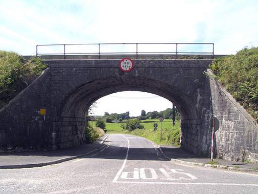 bridgebridge · 735 yd
 Old Cemetery KilcullyMemorial · 740 yd
 Kilcully Church (in Ruins)Church · 761 yd
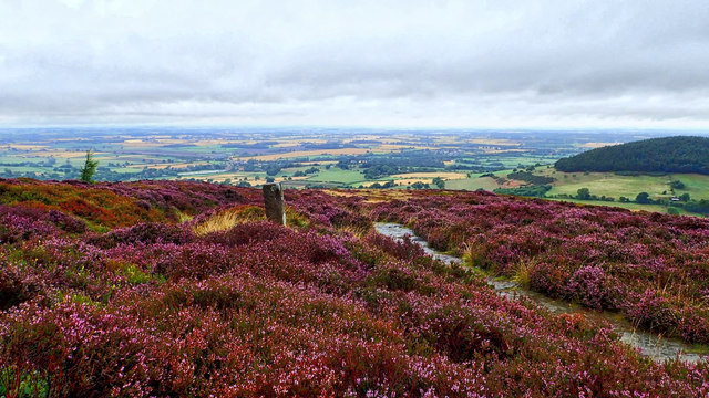 Burnt mound in KilleendanielBurnt mound · 1335 yd
 Murphy's RockViewpoint · 1478 yd
 ToberbarryHoly well · 1595 yd
 Delaney Brothers MonumentMemorial · 1.2 mi
 Castle (Site of)Castle, unclassified · 1.2 mi
 Dublin HillViewpoint · 1.4 mi
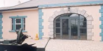 Collins Barracks Military MuseumMuseum · 2.2 mi
 Mashanaglass Castle (in Ruins)Castle, tower house · 19 mi
 Ummera WoodWood · 19 mi