What is recorded here
Indicated is a lost fairy fort in County Kildare, erased from the grass but preserved in old drawings. Taylor’s 1783 map drew it as a circular rath, while the 1837 survey showed a square copse about forty metres across. The land has taken back the boundary, leaving behind a name and a shape remembered by other means.
Marked as a circular 'Rath' on Taylor's 1783 map of County Kildare and shown on the 1st ed. (1837) of the OS 6-inch map as a roughly square, enclosed copse (est. dims. c. 40m x c. 40m). On level rough grazing. No visible surface trace of the monument survives.
Compiled by: Gearóid Conroy
Date of upload: 10 June 2011
The monument record does not grant public access. Check the route and ask the landowner before entering private land.
- What survives
- Recorded monument
Places near here
 IndicatedFairy fort / earthen ringfort · 481 yd
 Cappanargid Church (in ruins)Church · 1082 yd
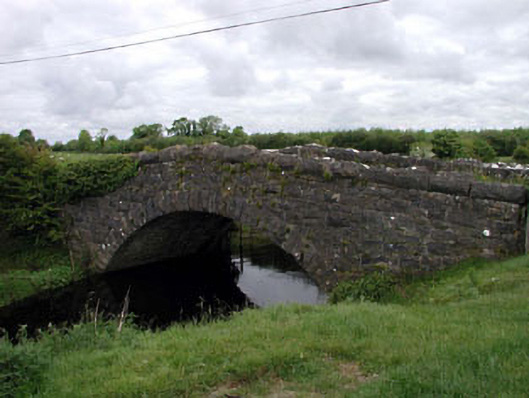 Agar Bridgebridge · 1452 yd
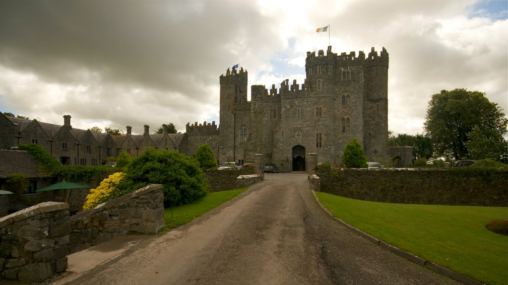 Enclosure in KillyguireEnclosure · 1759 yd
 Killinthomas Wood (Rathangan)Wood · 1.4 mi
 Bithia Mary CrokerMemorial · 1.8 mi
 Site of CastleCastle, tower house · 2.1 mi
 Community OrchardNature reserve · 2.1 mi
 The Fairy BowerHeritage attraction · 2.1 mi
 Lullymore Heritage ParkHeritage attraction · 2.1 mi
 Offaly CastleCastle, tower house · 2.9 mi
 Sli na Slainte - mapVisitor information · 5.1 mi