What is recorded here
Indicated spans four kilometres across the SE Burren, marking some of the oldest continuous human land use in County Clare. Irregular meandering walls precede straighter later divisions, suggesting Bronze Age herders shaped the karst before medieval hands refined the boundaries. Five wedge tombs and thirteen cashels dot the plateau, testaments to generations who read the limestone as a living archive rather than a barren waste.
In an area of upland exposed karst towards the SE extent of the Burren. A field system (c. 4.3km NE-SW; c. 2km NW-SE) stretching from Glasgeivnagh Hill at S to Fahee South at N. Irregular meandering field walls preceding straighter and later field walls are visible on Digital Globe (2011-2013) and on OSi Aerial Premium (2012-2018). Cahercommaun (CL010-064003-) is on a cliff edge at the SW extremity while at SE a line of 9 unclassified cairns lie on top of the steep edge of the plateau. Five wedge tombs (CL010-028----, CL010-064006-, CL010-064013-, CL010-064023-, CL010-064068-) are on the plateau as well as 13 cashels, 24 enclosures and another 13 unclassified cairns. The field walls are therefore likely to have both prehistoric and medieval elements. Extensive field systems of this nature extend over most of the Burren uplands. Those currently visible on aerial or satellite imagery are outlined for mapping purposes but it is likely that they continue under scrub and meet in certain areas.
Compiled by: Mary Tunney
Date of upload: 13 September 2021
The monument record does not grant public access. Check the route and ask the landowner before entering private land.
- What survives
- Recorded monument
Places near here
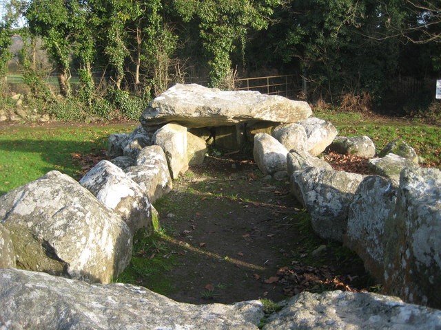 Slievenaglasha Wedge TombArchaeological place · 391 yd
 Enclosure in TullycommonEnclosure · 405 yd
 Castle in ruinsCastle, tower house · 1511 yd
 Father Ted's HouseHeritage attraction · 1.2 mi
 Glenquin Housefarm house · 1.2 mi
 Correen R.C. Chapel (in ruins)Church · 1.2 mi
 Castle (in ruins)Castle, unclassified · 1.7 mi
 Burren National ParkVisitor information · 1.8 mi
 Farbrega RockNamed rock · 2.4 mi
 PoulnabroneMemorial · 3.6 mi
 Fergus River CaveCave · 4.0 mi
 Poulnabrone - Burren GeositeVisitor information · 4.1 mi