
What is recorded here
In level pasture, gently undulating on surface. Remains of sod covered, stone trackway (Wth 2.4m) are raised (H 0.1-0.15m) above surrounding ground level. Trackway extends westward (L 24m) from roadside gate and curves almost at a right angle to extend c. 10m to SSW. This well defined section of trackway peters out at E side of the bawn (TS060-026003-) and poorly defined traces appear to merge into levelled scarp of the bawn from ENE-S. A well defined, gently curving portion of track (c. 10m) turns toward a gate and crosses a small stream. The track continues (L min. 40m) up gradual slope beyond this, across the landscaped grounds of Camas Park House. Trackway is best preserved along the initial 24m section where it is edged with a rough stone kerbing. This latter section is depicted on the 1st (1840) ed. OS 6-inch map as a trackway leading from the road to a building and a lime kiln. The other well defined length of trackway is also depicted on the 1st ed. OS 6-inch map leading from the ruinous Camus Castle south-eastward. The curving banks connecting these two separate trackways appear to be the remains of walls. These trackways appear to date to the 18th/19th century.
Compiled by: Jean Farrelly
Date of revised upload: 28 October 2015
The monument record does not grant public access. Check the route and ask the landowner before entering private land.
- What survives
- Recorded monument
Places near here
 Camus Castle (in ruins)Castle, unclassified · 54 yd
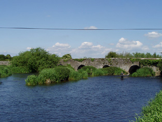 Camus Bridgebridge · 155 yd
 Camus Br.Bridge · 163 yd
 Site of ChurchChurch · 557 yd
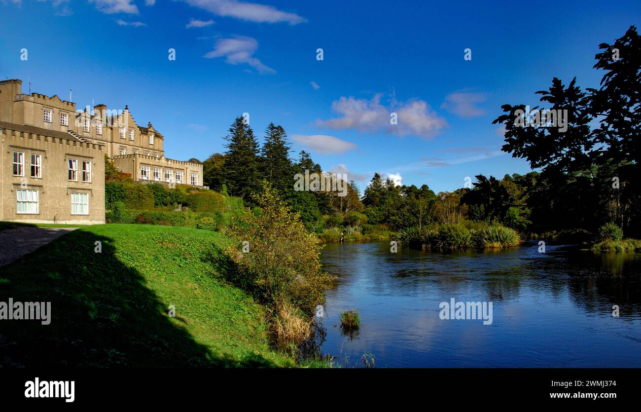 Enclosure in Ballynahinch (ballygriffin Par.)Enclosure · 1713 yd
 Ballynahinch Castle (in ruins)Castle, tower house · 1.5 mi
 Hore AbbeyHeritage attraction · 2.0 mi
 Rock of CashelHeritage attraction · 2.2 mi
 The Rock Of CashelVisitor information · 2.2 mi
 Black mulberryBlack mulberry · 2.3 mi
 Dundrum Woods (Marl Bog)Forest · 5.5 mi
 Soloheadbeg Ambushambush · 9.6 mi
Other information
Photo: Credit not shown in the picture search · Rights wording not checked; contact us if this picture should be removed