
What is recorded here
McCaffrey (1952, 188-9) recorded ‘six enclosures, house sites, and some old walls’ in the field immediately to the E of the cashel (G103-088001-). They are not marked on the 1838 edition of the OS 6-inch map and on the 1933 edition the houses are depicted as unroofed structures. On inspection eight houses were noted dispersed over an area, c. 170m E-W by c. 130m N-S, which was heavily encroached with scrub. No discernible pattern was noted in the layout or orientation of the houses (av. L 10.5m; Wth 6.2m), which were constructed of double-faced walls with a rubble core (Wth 0.7m) and survived as low overgrown banks and walls (H 0.8m). Associated enclosures were rectangular or circular in plan.
Compiled by: Galway Archaeological Survey, UCG
Date of upload: 19 January 2017
The monument record does not grant public access. Check the route and ask the landowner before entering private land.
- What survives
- Recorded monument
Places near here
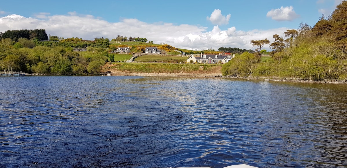 ParknarehooFairy fort / stone ringfort · 94 yd
 IndicatedFairy fort / stone ringfort · 466 yd
 Kiltiernan Church (in ruins)Church · 1097 yd
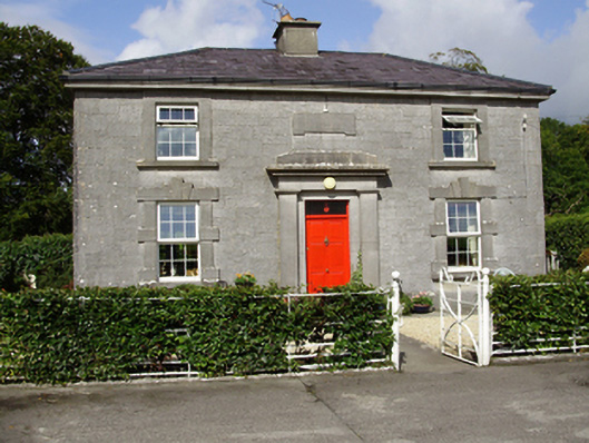 Castle Taylorsteward's house · 1.5 mi
 Dunkellin Castle (in ruins)Castle, tower house · 1.7 mi
 Castlegar (in ruins)Castle, unclassified · 2.0 mi
 Kilcornan ForestWood · 3.0 mi
 Drumharsna CastleHeritage attraction · 3.2 mi
 Drumacoo Monastic SiteHeritage attraction · 3.3 mi
 Loughaun WoodWood · 3.7 mi
 MweenisharanIslet · 4.8 mi
 Mulroney's IslandIslet · 5.5 mi
Other information
Photo: Credit not shown in the picture search · Rights wording not checked; contact us if this picture should be removed