What is recorded here
Indicated is a ruined stone ring in County Galway, Ireland, where a collapsed wall still marks a subcircular cashel beneath a later field boundary. It lies immediately south of one ringfort and about a hundred metres north-west of another, forming a small cluster of ancient defences in open ground. The stones have lost most of their shape, but the circle remains large enough to suggest that people once lived, worked or hid there before the land changed around them.
Immediately S of a ringfort (GA058-040----). Very poorly preserved subcircular cashel (E-W 32.2m, N-S 30m) defined by a collapsed drystone wall overlain by a field wall. A ringfort (GA058-042----) lies c. 100m to SE.
The above description is derived from the published 'Archaeological Inventory of County Galway Vol. II - North Galway'. Compiled by Olive Alcock, Kathy de hÓra and Paul Gosling (Dublin: Stationery Office, 1999).
Date of upload: 05 August 2010
The monument record does not grant public access. Check the route and ask the landowner before entering private land.
- What survives
- Recorded monument
Places near here
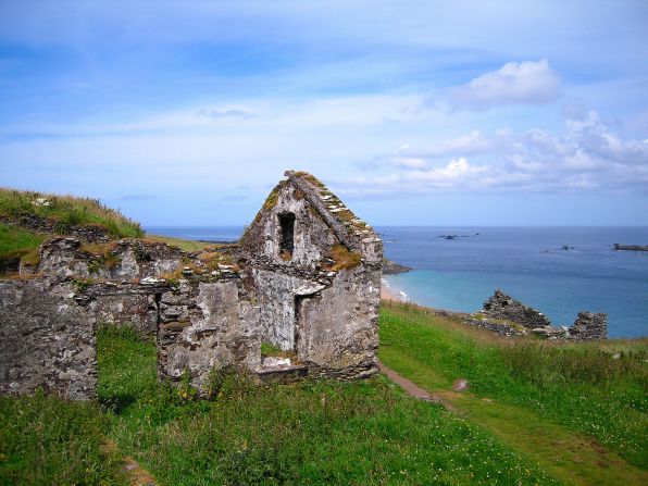 Settlement desertedSettlement deserted, medieval · 51 yd
 CashlaundarraghCastle · 1109 yd
 Tober PatrickHoly well · 1251 yd
 R. C. ChapelChurch · 1.6 mi
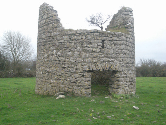 mill (wind)mill (wind) · 1.7 mi
 Castle FrenchCastle, unclassified · 1.9 mi
 SycamoreSycamore · 2.1 mi
 Common WhitebeamCommon Whitebeam · 2.1 mi
 Knockmoy AbbeyHeritage attraction · 2.4 mi
 Menlough IRAMemorial · 6.6 mi
 Mass RockNamed rock · 12 mi
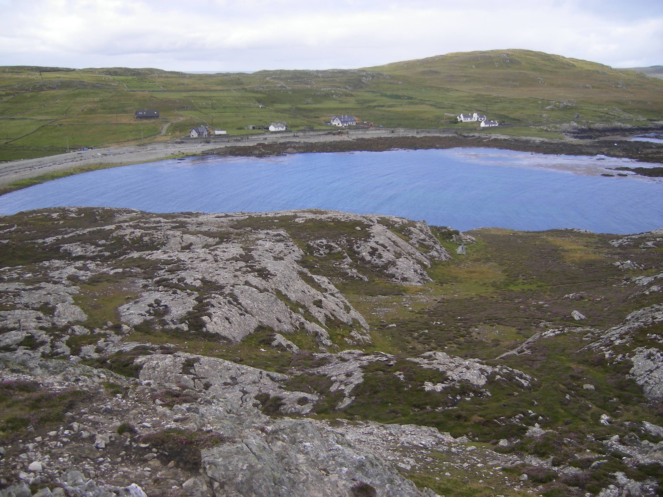 IndicatedFairy fort / ringfort · 1495 yd