What is recorded here
No visible surface trace survives of this sand or gravel quarry that is marked on the 1st edition of the OS 6-inch map. As it is of post-AD 1700 date it does not come within the remit of the Archaeological Survey of Ireland.
Compiled by: Olive Alcock
Date of upload: 14 August 2014
The monument record does not grant public access. Check the route and ask the landowner before entering private land.
- What survives
- Recorded monument
Places near here
 Enclosure in CaherglassaunEnclosure · 640 yd
 EnclosureEnclosure, large enclosure · 808 yd
 Mine in CaherglassaunMine · 1029 yd
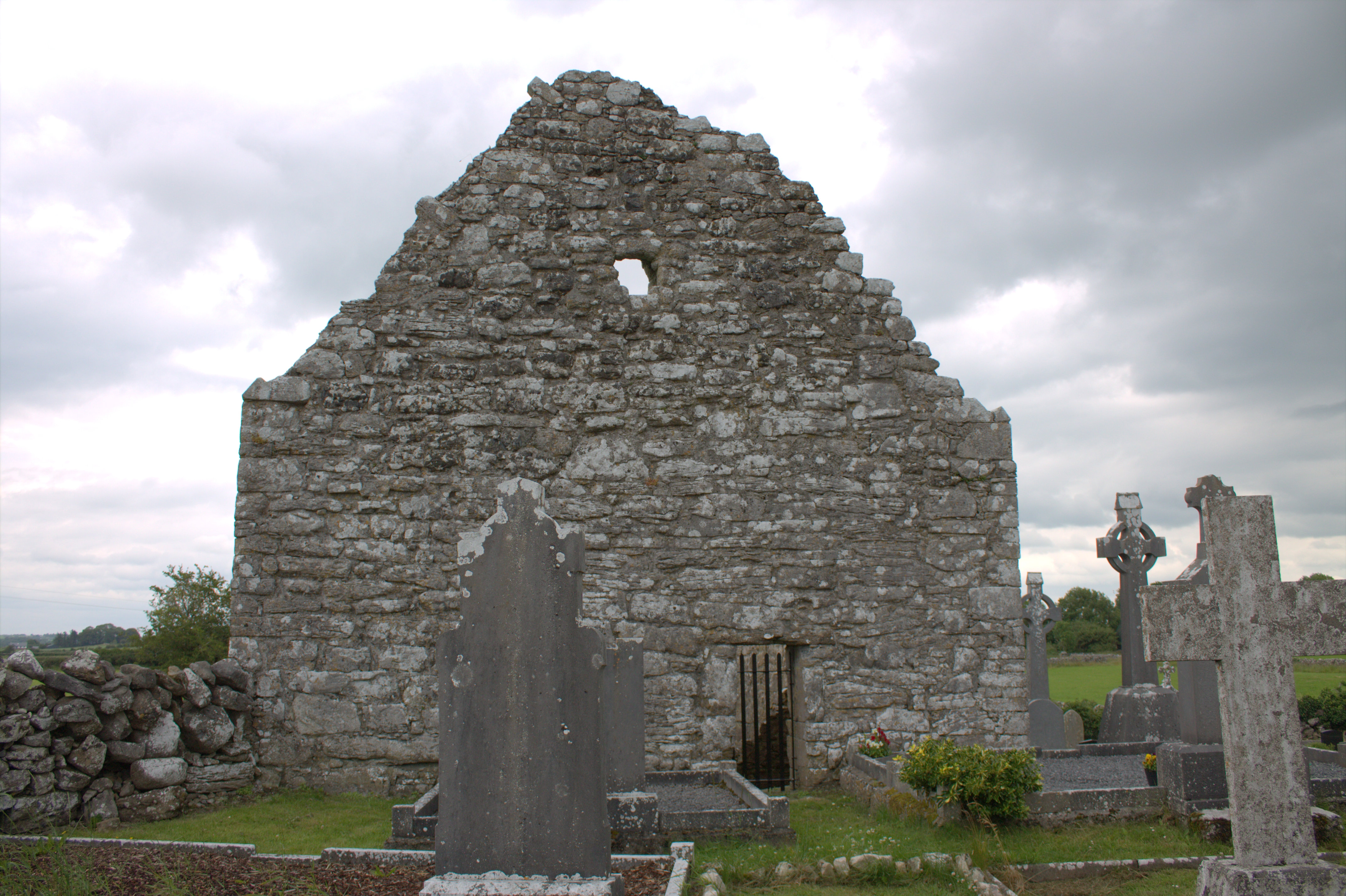 Killomoran Church (in ruins)Church · 1290 yd
 Castle in ruinsCastle, unclassified · 1.6 mi
 Coole-Garryland Nature ReserveNature reserve · 1.8 mi
 European BeechEuropean Beech · 1.9 mi
 Cahererillan CastleCastle · 2.6 mi
 Drumharsna CastleHeritage attraction · 2.6 mi
 Mulroney's IslandIslet · 4.2 mi
 Kilmacduagh Monastic SiteVisitor information · 4.2 mi
 Kilmacduagh MonasteryHeritage attraction · 4.3 mi