
What is recorded here
On a rise in pastureland. This oval cashel (41m N-S; 36m E-W) is defined by a drystone wall (Wth 3m; H 0.6m), which is best preserved around the E half of the monument where inner and outer wall-facing survives. Around the W half the facing survives sporadically. Field-clearance rubble has been packed against the outer wall-face at SE, S and W (Cody 1989, 235-6, no. 66).
Compiled by: Galway Archaeological Survey, UCG
Date of upload: 11 January 2017
The monument record does not grant public access. Check the route and ask the landowner before entering private land.
- What survives
- Recorded monument
Places near here
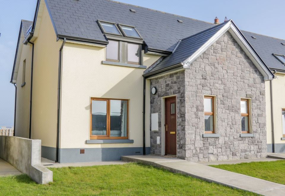 CahermoreFairy fort / stone ringfort · 725 yd
 CaherhenryFairy fort / stone ringfort · 845 yd
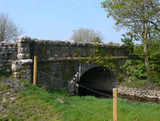 Whistle Bridgebridge · 1427 yd
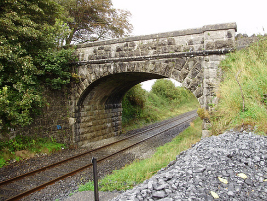 Derrydonnell Bridgebridge · 1690 yd
 Derrydonnell Castle (in ruins)Castle, tower house · 1.2 mi
 Bawn in MoyveelaBawn · 1.3 mi
 Athenry AbbeyHeritage attraction · 3.1 mi
 Athenry CastleHeritage attraction · 3.2 mi
 Horse-chestnutHorse-chestnut · 3.2 mi
 First Battle of Athenrybattle · 3.6 mi
 Moyard WoodWood · 3.7 mi
 Leadmine HillMountain / peak · 7.7 mi
Other information
Photo: Credit not shown in the picture search · Rights wording not checked; contact us if this picture should be removed