What is recorded here
On level ground on the SE-facing slopes of a rocky ridge with higher ground from WSW to NNE and from ENE to S and with good views to the S. Within an extensive multiperiod field system (CL004-016001-). Hachured on the 1915 OS 6-inch map. A subrectangular enclosure (15m N-S; 12m E-W) defined by a loose drystone wall with outer wall-facing (H 0.2m) visible at S and SE. The drystone wall sits on a substantial stone spread (Wth 2.5-4m; int. H 0.3-0.5m; ext. H 0.2-0.6m) which may represent the original perimeter of the enclosure. The interior is level. Low wall foundations abut the enclosure perimeter at ENE, SSW and SW.
Compiled by: Mary Tunney and Lynda McCormack
Date of upload: 26 September 2022
The monument record does not grant public access. Check the route and ask the landowner before entering private land.
- What survives
- Recorded monument
Places near here
 IndicatedFairy fort / stone ringfort · 503 yd
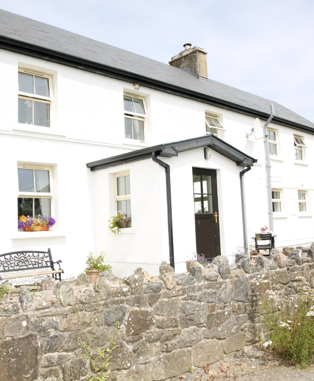 Enclosure in Formoyle WestEnclosure · 1035 yd
 Slieve ElvaMountain / peak · 1721 yd
 Formoyle R.C. ChapelChurch · 1.0 mi
 Faunarooska Castle (in ruins)Castle, tower house · 1.2 mi
 FaunarooskaCave · 1.4 mi
 PollbailinyCave · 1.5 mi
 Balliny CaherRuins · 1.7 mi
 Fanore BeachBeach / strand · 2.3 mi
 CappanawallaMountain / peak · 2.9 mi
 Gregan CastleCastle · 2.9 mi
 Cahermacnaghten CashelHeritage attraction · 4.0 mi