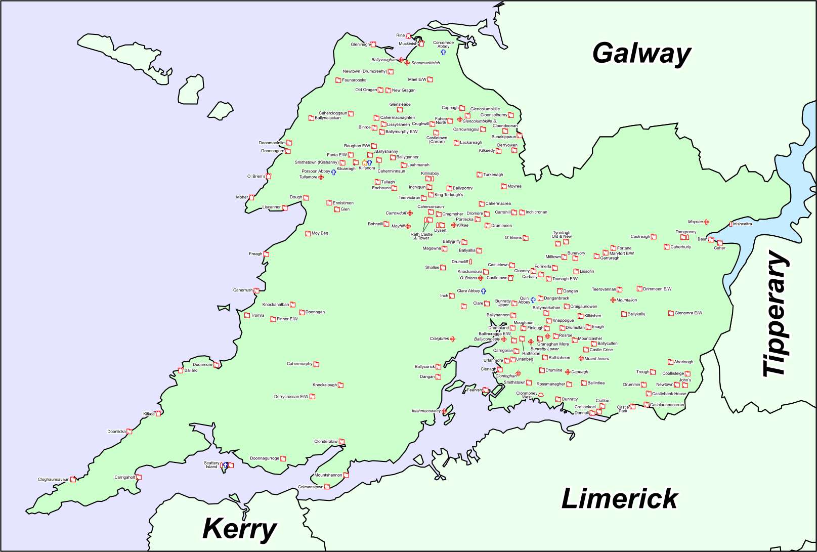
What is recorded here
In scrubby pasture on the summit of ridge aligned E-W with panoramic views hindered by dense vegetation. Hachured on the 1840 OS 6-inch map. A subcircular cashel with an angular NE quadrant (int. 26.5m N-S; 26m E-W) defined by a partially collapsed drystone wall (Wth at base 2m; Wth at top 1.75m; int. H 1.65m; ext. H 2m) encircled by a band of collapsed rubble (Wth 1-2m). Large stones predominate in the lower courses with small stones in the upper courses. The W side of the monument is completely overgrown. Four modern cattle gaps run through the wall and the location of the original entrance is unclear. The interior slopes gently down to the SE and has no visible features.
Compiled by: Mary Tunney and Eve Campbell
Date of upload: 14 August 2023
A local fairy fort (ringfort/rath); wider significance not recorded.
The monument record does not grant public access. Check the route and ask the landowner before entering private land.
- What survives
- Recorded monument
Places near here
 Enclosure in CaheraderryEnclosure · 837 yd
 Church in KillaspuglonaneChurch · 991 yd
 Enclosure in KillaspuglonaneEnclosure · 1084 yd
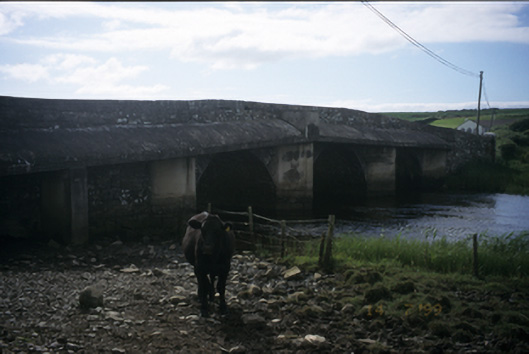 New Bridgebridge · 1211 yd
 Site of Tullamore CastleCastle, unclassified · 1.1 mi
 Dough CastleRuins · 1.3 mi
 Kilmanahn GraveyardRuins · 1.7 mi
 Lahinch BeachBeach / strand · 1.9 mi
 Famine MemorialMemorial · 2.0 mi
 John P. Holland CentreMuseum · 2.9 mi
 Doolin Cliff WalkWalking route · 3.5 mi
 Bridget's Well;St Bridget's WellSpring · 3.6 mi
Other information
Photo: Credit not shown in the picture search · Rights wording not checked; contact us if this picture should be removed