What is recorded here
The first edition OS 6-inch sheet shows a curvilinear area formed by a bend in the old road, Butterfield Avenue, and the surrounding field boundaries which probably indicates the former presence of an ecclesiastical enclosure. Archaeological excavations in 1997 identified evidence for burial (DU022-038001-).
Compiled by Geraldine Stout
Date of upload: 26th April 2012
The monument record does not grant public access. Check the route and ask the landowner before entering private land.
- What survives
- Recorded monument
Places near here
 Enclosure in ButterfieldEnclosure · 1 yd
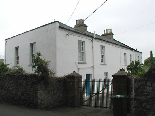 Orchardstown Househouse · 132 yd
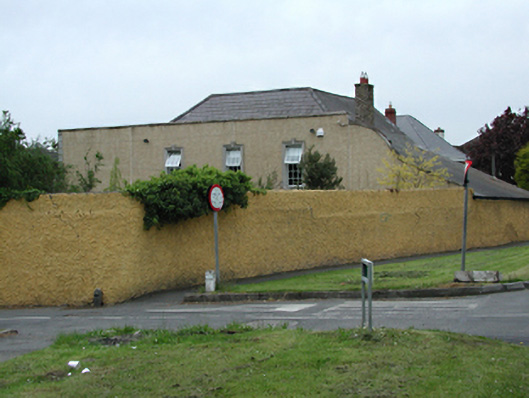 Washington Housecountry house · 160 yd
 Austin Clarke BridgeMemorial · 701 yd
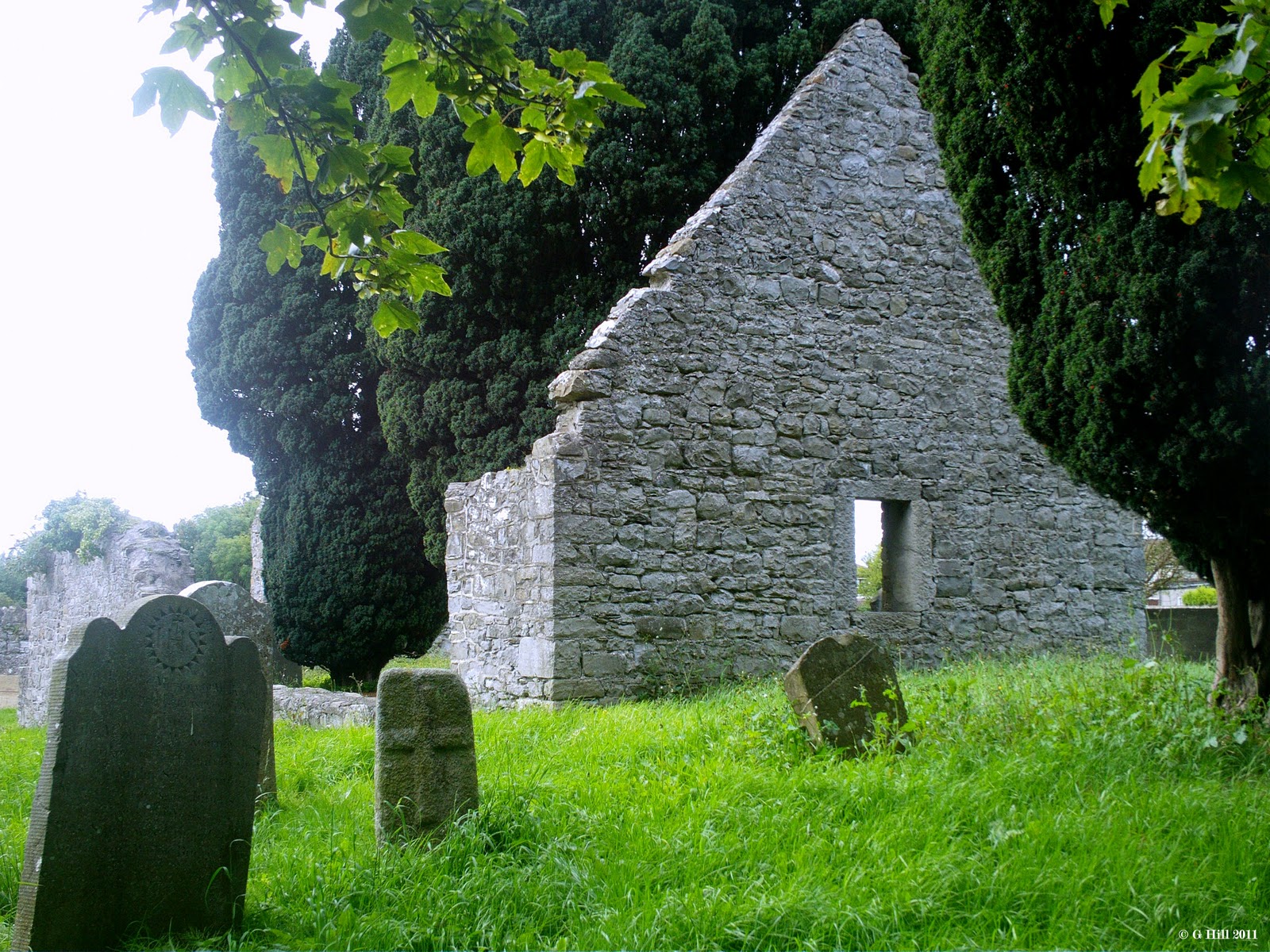 CastleCastle, tower house · 1188 yd
 Rathfarnham CastleHouse, fortified house · 1272 yd
 G. Yd.Graveyard · 1287 yd
 WhitecliffVisitor information · 1614 yd
 ObeliskMemorial · 1.1 mi
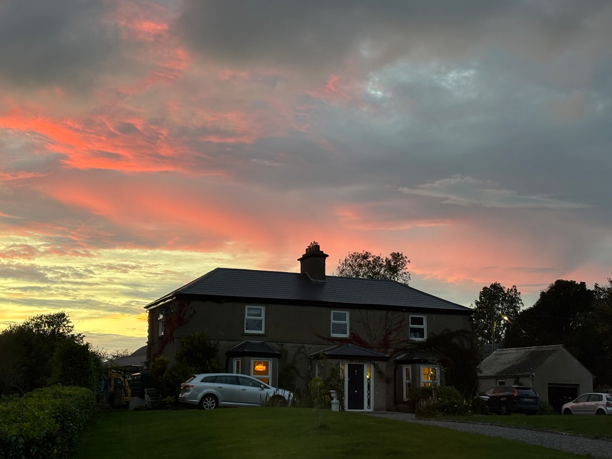 Nature RoomHeritage attraction · 1.1 mi
 PACT WoodlandWood · 1.2 mi
 Fitwalk CircuitWalking route · 1.3 mi