What is recorded here
Indicated is a buried church in Rathfarnham where stones still clamp human skulls like ear-muffs. Workmen opened that forgotten ground in 1997, but the road bend and field edges had preserved its shape since before written memory. The dead were not scattered; they were arranged, held, and remembered through stone.
In 1997 workmen uncovered human skeletons at the site of the Old Orchard public house, Butterfield Avenue, Rathfarnham, Dublin 14, during development at the site. Human skeletons had been found previously in the area in 1950 (NMI). The first edition OS 6-inch sheet shows that the site is situated within a curvilinear area formed by a bend in the old road, Butterfield Avenue, and the surrounding field boundaries which probably indicates the former presence of an ecclesiastical enclosure (DU022-038002-). Trial excavations in 1997uncovered an early medieval phase of occupation which was represented by a palisade trench which produced copper, iron slag animal bone, a penannular brooch terminal, iron knives and a 'pig fibula' pin. The site was subsequently used for burial that clearly related to the boundary enclosure, which suggests that the site was originally ecclesiastical. Many of the burials had stone features holding their heads in place, usually stones to either side of the head. In most cases, these stones were narrow, placed in ear-muff fashion. The site was subsequently used again for occupation in perhaps the 12th or 13th century (Carroll 1998, 59-60, Cahill & Sikora 2011, 458).
Compiled by Geraldine Stout
Date of upload: 26th April 2012
The monument record does not grant public access. Check the route and ask the landowner before entering private land.
- What survives
- Recorded monument
Places near here
 Enclosure in ButterfieldEnclosure · 1 yd
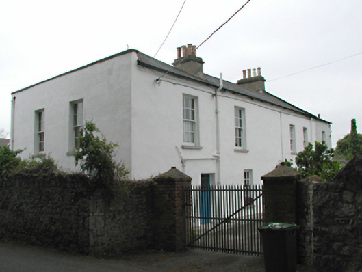 Orchardstown Househouse · 132 yd
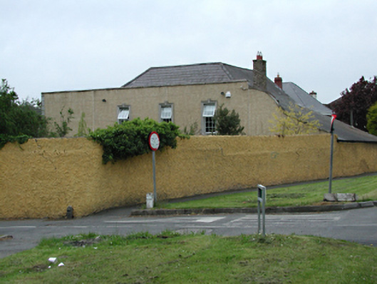 Washington Housecountry house · 160 yd
 Austin Clarke BridgeMemorial · 701 yd
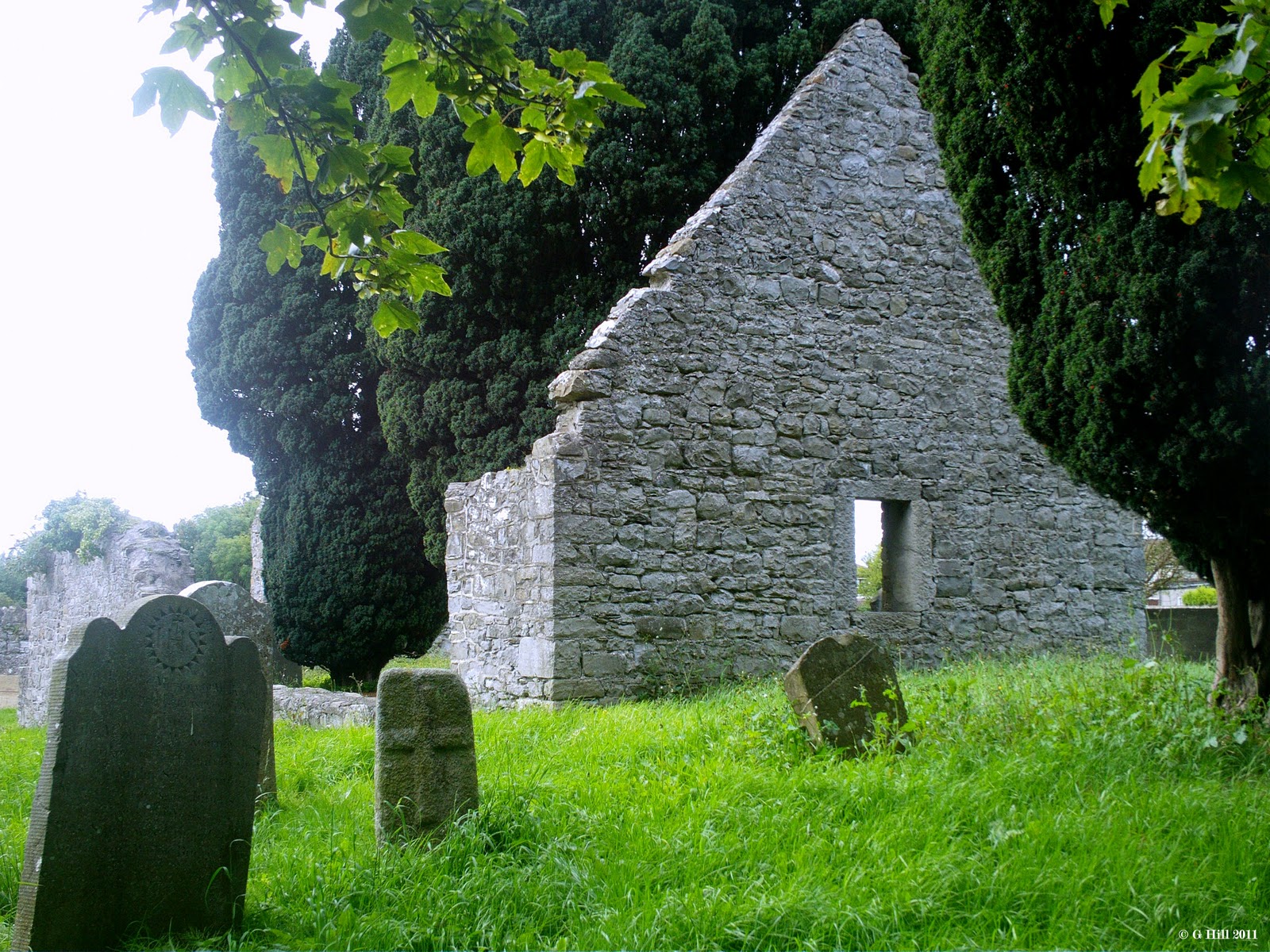 CastleCastle, tower house · 1188 yd
 Rathfarnham CastleHouse, fortified house · 1272 yd
 G. Yd.Graveyard · 1287 yd
 WhitecliffVisitor information · 1614 yd
 ObeliskMemorial · 1.1 mi
 Nature RoomHeritage attraction · 1.1 mi
 PACT WoodlandWood · 1.2 mi
 Fitwalk CircuitWalking route · 1.3 mi