What is recorded here
Situated on N facing slope of rising ground in undulating countryside. Present remains consist of a circular area (diam. 29m) the interior of which has been raised at NW to create a level interior, enclosed by poorly preserved earth and stone bank and outer fosse. No evidence of an entrance feature. Referred to as an 'Ancient Fort' in the OS Field Name Books 1838-40. Situated on demesne land and may have been reused as a tree-ring, has all the appearances of a landscape feature rather than a ringfort. Depicted on the first edition of the OS 6-inch map as a tree-ring rather than an antiquity.
The above description is derived from the published 'Archaeological Inventory of County Offaly' (Dublin: Stationery Office, 1997). In certain instances the entries have been revised and updated in the light of recent research.
Date of upload: 23 May 2011
The monument record does not grant public access. Check the route and ask the landowner before entering private land.
- What survives
- Recorded monument
Places near here
 Busherstown Housecountry house · 297 yd
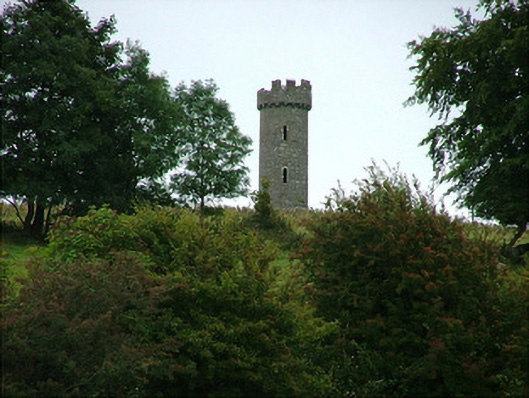 Busherstown Towerfolly · 399 yd
 Enclosure in BusherstownEnclosure · 884 yd
 IndicatedFairy fort / earthen ringfort · 991 yd
 MoatCastle, motte · 1226 yd
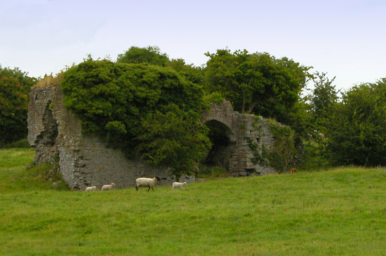 Bawn in CullenwaineBawn · 2.1 mi
 BenduffMountain / peak · 2.2 mi
 Longford WoodForest · 3.1 mi
 Borrisnoe MountainMountain / peak · 3.5 mi
 Kyleroe WoodWood · 4.0 mi
 Thomas MacDonagh Heritage CentreMuseum · 5.7 mi
 MacDonagh HouseMemorial · 5.7 mi