What is recorded here
Burncourt bawn still circles the burned castle in Tipperary valley, its east wall rising five metres beside pasture that drops south toward the Knockmealdown mountains. The southeast corner throws out a small bartizan on carved corbels, while ivy hides a narrow shot-hole nearby. A drain cut near that angle exposes the buried wall footing, proving the enclosure reached deeper than the visible ruin.
In valley at foot of Knockmealdown mountains, on relatively level ground which drops off slightly to the S, in pastureland. The Civil Survey (1654-6) refers to 'Sir Richard Everards Mansion house, called Everards Castle the walls onely standinge and some cabbins within a bawne, the sd house beinge burned is yett without repaire' (Simington 1931, vol.1, 374). The N, E and S walls of the bawn enclosing Burncourt Castle (TS080-004001-) survive including the NE and SE angle of the bawn. There is a length of bawn on the N side (T 0.65m) roughly opposite the NE corner tower of the house. The W end of the N wall survives as a low wall (H 1.6m) running up to later farm buildings. The E wall (H 5m) runs N-S c. 40m E of the fortified house and the S wall (L 41.5m; T 0.65m; int. H 1.75m) runs E-W and has a blocked opening 7m from W end (W 1.37m). At the SE angle there is a bartizan which projects beyond the wall by 1.2m. The bartizan (H c. 1m) is supported on two double corbels to the S and E and by a single corbel with pyramidal chamfer at the angle. Approx. 2m N of the SE angle there is a small embrasure for a shot-hole, obscured on the external face by ivy. The ground level drops S of the bawn in line with the E wall of the bawn. Mid-way along the E wall, c. 57m from the SE angle, the wall has largely collapsed, wall-footing survives with an earthen bank above it. The wall has collapsed in the NE angle and an earthen bank remains. A drain has been cut c. 4m from the SE angle revealing a wall-footing 0.8m below ground level. There is no evidence of a base-batter. Later walls include a length of wall (L 25.8m) running E-W towards the SW angle of the fortified house, the wall has collapsed and a rubble wall rebuilt between the SW angle and the surviving length of wall which is of limestone rubble, roughly coursed (T 0.7m; H 3m). A length of wall (L 29m; T 0.9m; H 1.6-2m) runs from the NW angle tower, abutting the N end of the W wall. There is an entrance gap in the wall (W 1.4m) 1.75m W of the fortified house. A loose architectural fragment of wide chamfered surface with a large pyramidal broach-stop with punch tooling is possibly from the original bawn entrance.
Compiled by: Jean Farrelly
Date of upload: 06 January 2014
Sir Richard Everard held Burncourt Castle in the mid-17th century; it is remembered due to its mention in the Civil Survey of 1654–56, which noted it as his mansion house.
The monument record does not grant public access. Check the route and ask the landowner before entering private land.
- What survives
- Recorded monument
Places near here
 Burncourt CastleCastle · 25 yd
 Burncourt Old Br.Bridge · 217 yd
 Church in BurncourtChurch · 629 yd
 Enclosure in BurncourtEnclosure · 1115 yd
 Rehill WoodForest · 1423 yd
 Enclosure in KnockaarumEnclosure · 1.3 mi
 IndicatedBawn · 1.4 mi
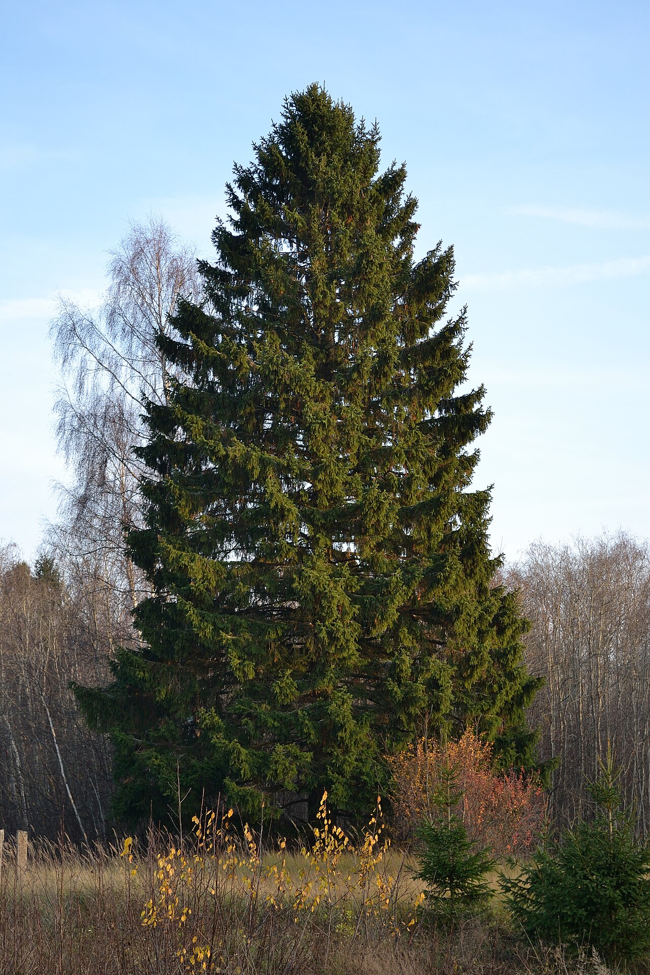 Norway SpruceNorway Spruce · 1.7 mi
 Mitchelstown CaveCave · 1.8 mi
 Ronald Reagan CentreHeritage attraction · 3.3 mi
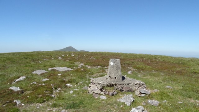 GreenaneMountain / peak · 4.0 mi
 Seefin North TopMountain / peak · 4.3 mi