What is recorded here
Situated on poorly drained land now located at W edge of modern forestry plantation. Site was impossible to examine due to dense cover of vegetation. Described in 1978 as a sub-circular or roughly pear-shaped area (approx. dims. 64m NW-SE x 59m NE-SW) enclosed by a wide low earth and stone bank and external fosse. The interior contains a number of house sites and internal banks. Enclosure not depicted as an antiquity on any edition of the OS 6-inch maps. Possibly a ringfort that was converted into a tree-ring as part of the demesne landscaping belonging to Ladywell House located 490m to W. Depicted as a tree-ring on the 1837 ed. OS 6-inch map. On this map the enclosure is located in a field marked as 'Limekiln Park'. On the 1911 ed. OS 25-inch a lime kiln is shown standing 90m to E of the enclosure. it is possible that the houses and the earthen banks in the centre of the enclosure are related to the workings of the post-1700 limekiln.
Compiled by: Caimin O'Brien
Date of upload: 22 December 2017
The monument record does not grant public access. Check the route and ask the landowner before entering private land.
- What survives
- Recorded monument
Places near here
 Bunown CastleCastle · 578 yd
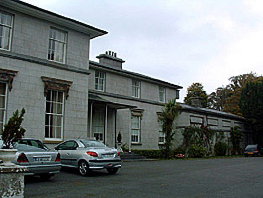 Ladywell Parkcountry house · 597 yd
 Bunown ChurchChurch · 738 yd
 Lady WellHoly well · 738 yd
 Killinure BayBay · 1122 yd
 OutlinedFairy fort / earthen ringfort · 1236 yd
 Temple's IslandIslet · 1.1 mi
 Traveen BayBay · 1.4 mi
 Ballynakill CastleCastle · 1.5 mi
 Portlick Millennium ForestWood · 2.0 mi
 Thatch IslandIslet · 2.1 mi