What is recorded here
Indicated is a probable ringfort in County Mayo, Ireland, marked by a low earthen bank and a southern gap. It sits in low-lying pasture, roughly circular at 48 metres north-south and 53 metres east-west. The bank rises only 0.4 metres, yet it encloses a small life: a home, a pen, a shelter, or a place of work. People may have entered through the gap, carried water, kept animals, or watched the land pass by.
In low-lying pasture. Roughly circular-shaped area (48m N-S; 53m E-W) enclosed by low earthen bank (H 0.4m). Gap on S (Wth 2m). Probably a ringfort.
The above description has been derived from D. Lavelle (compiler), An Archaeological Survey of Ballinrobe and District including Lough Mask and Lough Carra. Lough Mask and Lough Carra Tourist Development Association (1994), No. 411.
Date of upload: 6 November 2013
The monument record does not grant public access. Check the route and ask the landowner before entering private land.
- What survives
- Recorded monument
Places near here
 LabbadermotCave · 458 yd
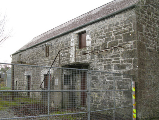 mill (water)mill (water) · 801 yd
 IndicatedEnclosure · 901 yd
 Tobar-an-BhricHoly well · 969 yd
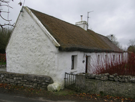 White O'Mornfarm house · 1676 yd
 Long IslandIslet · 1.4 mi
 Shrub IslandIslet · 1.6 mi
 Castle in ruinsCastle, unclassified · 1.6 mi
 Loughmask CastleCastle · 1.7 mi
 European ashEuropean ash · 1.8 mi
 Black RocksNamed rock · 2.8 mi
 Devenish RocksNamed rock · 3.4 mi