What is recorded here
Internal diam. c. 16.2m N-S, 15m E-W
This small univallate rath is located in pasture on the NW side of Boolakeel Creek and overlooks Ballinskelligs Bay. Its earthen enclosing element measures 1.1m high and 1.3m wide and is virtually levelled on its N side. A 1m wide gap at E may mark the location of the original entrance. The site is densely overgrown and no internal features were observed.
The above description is derived from A. O'Sullivan and J. Sheehan (compilers), 'The Iveragh peninsula: an archaeological survey of South Kerry'. Cork University Press (1996), no. 470. In certain instances the entries have been revised and updated in the light of recent research.
Date of upload: 28 July 2013
A small univallate ringfort (rath) likely dating to the early medieval period, associated locally with the name Buaile Uí Chuill. Though specific folklore is not recorded, such sites were often linked in tradition to fairy dwellings or ancient septs.
The monument record does not grant public access. Check the route and ask the landowner before entering private land.
- What survives
- Recorded monument
Places near here
 Trá PhraisceBeach / strand · 415 yd
 Hut site in Baile An SceilgHut site · 465 yd
 Poll na TóirníCave · 786 yd
 Cuas na LéimeCave · 1133 yd
 Coastguard Station RuinsRuins · 1272 yd
 Ancient HamletSettlement cluster · 1455 yd
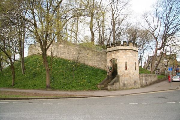 Castle (in Ruins)Castle, tower house · 1522 yd
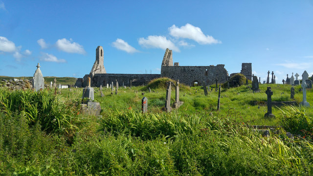 Ballinskelligs PrioryVisitor information · 1532 yd
 Ballinskelligs Abbey (in ruins)Religious house, Augustinian canons · 1541 yd
 Ballinskelligs Castle (in Ruins)Castle, tower house · 1.1 mi
 Oileán na gCapallIslet · 1.2 mi
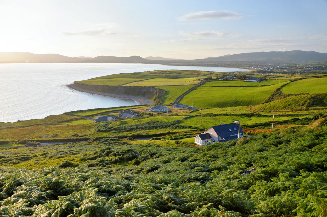 Trá Bhaile an SceilgeBeach / strand · 1.2 mi