
What is recorded here
Henry records a ruined hut, twelve feet (3.66m) in diameter, located in pasture on the N side of the Ballinskelligs-Bolus road (1957, 109). Overgrowth and scattered boulders now mark the location of the site.
The above description is derived from A. O'Sullivan and J. Sheehan (compilers), 'The Iveragh peninsula: an archaeological survey of South Kerry'. Cork University Press (1996), no. 1423. In certain instances the entries have been revised and updated in the light of recent research.
Date of upload: 1 August 2013
The monument record does not grant public access. Check the route and ask the landowner before entering private land.
- What survives
- Recorded monument
Places near here
 Trá PhraisceBeach / strand · 599 yd
 Ancient HamletSettlement cluster · 1116 yd
 Poll na TóirníCave · 1157 yd
 Coastguard Station RuinsRuins · 1190 yd
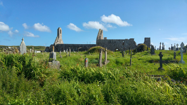 Ballinskelligs PrioryVisitor information · 1217 yd
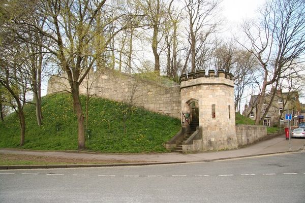 Castle (in Ruins)Castle, tower house · 1227 yd
 Ballinskelligs Abbey (in ruins)Religious house, Augustinian canons · 1239 yd
 Ballinskelligs Castle (in Ruins)Castle, tower house · 1516 yd
 Cuas na LéimeCave · 1597 yd
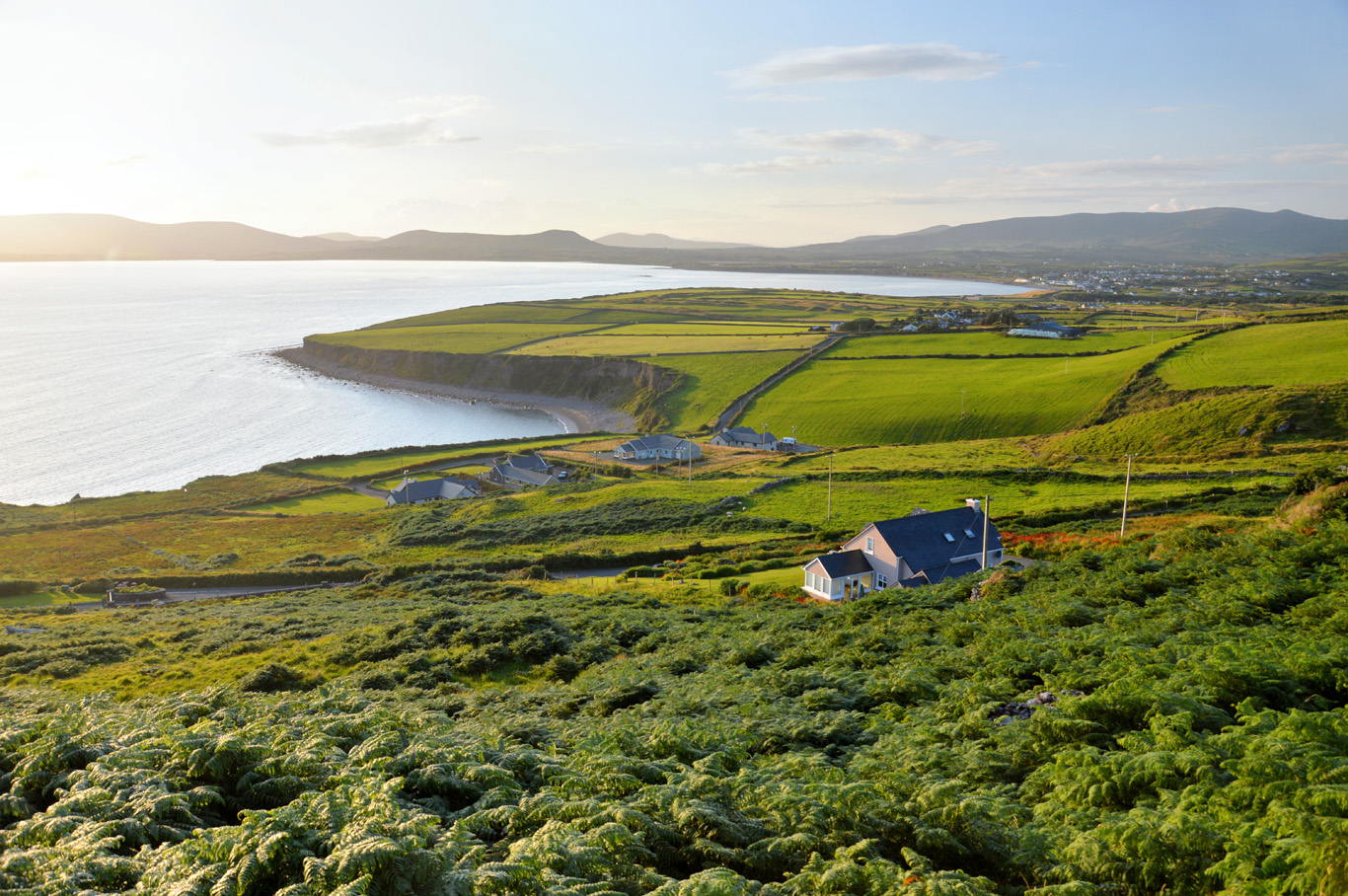 Trá Bhaile an SceilgeBeach / strand · 1643 yd
 Reglaish Church (in Ruins)Church · 1700 yd
 Megalithic structure in Cinn Aird Thiar (tc Baile An Sceilg)Megalithic structure · 1709 yd
Other information
Photo: Credit not shown in the picture search · Rights wording not checked; contact us if this picture should be removed