What is recorded here
O'Hare (2000) describes a 'possible hut site (4.6m north-south; 5.9m east-west) [which] is visible incorporated into the external face of the external bank [of an ecclesiastical enclosure KE032-008003-] immediately south of west.' There is a circular feature indicated at the W edge of the ecclesiastical enclosure (KE032-008003-) on the Cassini ed. OSi 6-inch map.
Compiled by: Caimin O'Brien
Date of upload: 15 April 2022
The monument record does not grant public access. Check the route and ask the landowner before entering private land.
- What survives
- Recorded monument
Places near here
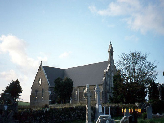 Saint Carthage's Catholic Churchchurch/chapel · 72 yd
 Dotted outline, GlebeEcclesiastical enclosure · 86 yd
 (Site of) ChurchChurch · 150 yd
 Mountcollins Bridgebridge · 1.4 mi
 Three CountiesPicnic place · 2.4 mi
 KnockateeMountain / peak · 5.2 mi
 Barnagh HillMountain / peak · 6.0 mi
 Purt CastleCastle · 6.4 mi
 Ballyplimoth CastleCastle · 8.2 mi
 Crag CaveCave · 8.7 mi
 John B. KeaneMemorial · 13 mi
 Holocaust MemorialMemorial · 13 mi