What is recorded here
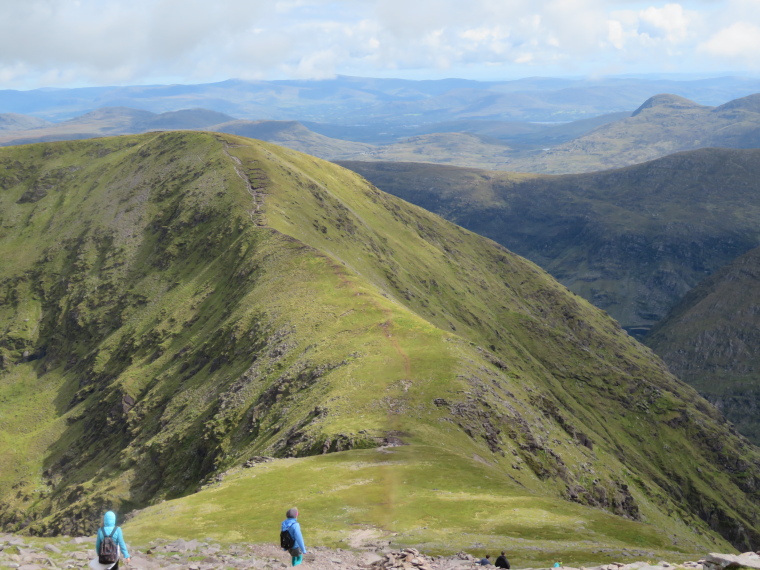
Indicated is a fairy fort in County Kerry, Ireland, preserving a circular earth platform and faint oval hut beside the Inny river. It is the kind of place where human memory thins into myth, and myth becomes the shape of the land.
This site is marked on both editions of the OS maps as a circular enclosure. It is located in low-lying pasture, a short distance S of the Inny river, and survives as a raised circular platform of earth and stone. Standing up to 1.4m above surrounding ground level, it measures 33m N-S x 32m E-W in overall diameter. Faint traces of an enclosing bank are discernible at the N sector of the site.
The poorly preserved remains of an oval hut (KE089-047001-) occupy the centre of the enclosure. This measures 8m x 5.5m internally, and its wall of earth and stone measures .6m wide and .3m high.
The above description is derived from A. O'Sullivan and J. Sheehan (compilers), 'The Iveragh peninsula: an archaeological survey of South Kerry'. Cork University Press (1996), no. 638. In certain instances the entries have been revised and updated in the light of recent research.
Date of upload: 29 July 2013
The monument record does not grant public access. Check the route and ask the landowner before entering private land.
- What survives
- Recorded monument
Places near here
 Dromod Church (in Ruins)Church · 890 yd
 Rainbow Br. (Site of)Bridge · 1407 yd
 Indicated (1846).Hut site · 1527 yd
 CoomduffMountain / peak · 1.5 mi
 Kineigh Househouse · 1.9 mi
 Church IslandIslet · 2.1 mi
 BeenduffMountain / peak · 2.8 mi
 Butler MemorialMemorial · 2.8 mi
 T. C. Millerick MemorialMemorial · 2.9 mi
 Inny StrandBeach / strand · 3.0 mi
 Waterville PromenadeWalking route · 3.0 mi
 CastleCastle, tower house · 3.2 mi
Other information
Photo: Credit not shown in the picture search · Rights wording not checked; contact us if this picture should be removed