
What is recorded here
On a low rise with good views in all directions. Discovered in 2013 during the course of a review of LIDAR data where it is visible as a raised area (diam. c. 45m) with an external fosse (pers. comm. Dr Steve Davis, UCD). The raised subcircular area (diam. 44m E-W; 40m N-S) is defined by a low scarp (H 0.2m) with the remains of a waterlogged external fosse (Wth 4m; ext. D 1m), now re-used as a field boundary, from SW-W-N. No other features are visible. Possibly a levelled ringfort. A possible enclosure (LF015-092----) lies 80m to NNW and a ringfort (LF015-047----) 160m to the NW.
The attached LIDAR image is uploaded courtesy of Dr Steve Davis.
Compiled by: Paul Walsh and Caimin O'Brien
Date of upload: 11 October 2013
A local fairy fort (ringfort/rath); wider significance not recorded.
The monument record does not grant public access. Check the route and ask the landowner before entering private land.
- What survives
- Recorded monument
Places near here
 Enclosure in BracklonEnclosure · 117 yd
 CastleCastle, ringwork · 766 yd
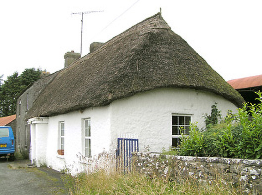 Moore's Townhouse · 1065 yd
 Church (in Ruins)Church · 1462 yd
 Ecclesiastical enclosure in MoatfarrellEcclesiastical enclosure · 1469 yd
 Moat & CastleCastle, motte and bailey · 1.3 mi
 Edgeworthstown BypassMemorial · 1.5 mi
 Oldtown DemesneForest · 2.9 mi
 Oldtown CopseWood · 3.0 mi
 Clonfin Ambush MemorialMemorial · 3.9 mi
 Bully's Acregraveyard/cemetery, unknown · 4.7 mi
 Granard MotteMotte-and-bailey castle remains · 6.9 mi
Other information
Photo: Credit not shown in the picture search · Rights wording not checked; contact us if this picture should be removed