What is recorded here
Part of a complex of monuments. Well-preserved but densely overgrown circular cashel (D 71m) defined by a drystone wall. Traces of double wall-facing are visible intermittently and the enclosing wall is overlain by a later field wall at E and SE. Fragmentary internal divisions are evident in the interior. Within the SW quadrant two features were noted: a square well-like feature (L/Wth 2.6m, 0.65m in depth) defined by limestone slabs and a D-shaped structure (E-W 6m, N-S 6m) defined by a collapsed stone wall. The latter abuts the internal wall-face. There is a local tradition of a 'cave' (GA056-024003-) in the interior of which no visible surface trace survives. A number of field walls, part of the field system (GA056-024008-), radiate from the monument (ASGAP 167:84).
The above description is derived from the published 'Archaeological Inventory of County Galway Vol. II - North Galway'. Compiled by Olive Alcock, Kathy de hÓra and Paul Gosling (Dublin: Stationery Office, 1999). In certain instances the entries have been revised and updated in the light of recent research.
Updated by: Olive Alcock
Date of upload: 16 February 2017
A local fairy fort (ringfort/rath); wider significance not recorded.
The monument record does not grant public access. Check the route and ask the landowner before entering private land.
- What survives
- Recorded monument
Places near here
 Megalithic structure in BolisheenMegalithic structure · 356 yd
 IndicatedEnclosure · 1564 yd
 Site of CastleCastle, unclassified · 1.2 mi
 Church in AucloggeenChurch · 1.2 mi
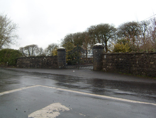 Cahermorris Housedemesne walls/gates/railings · 1.5 mi
 Cregboyne FortBawn · 2.1 mi
 Cregg Castle DemesneForest · 2.2 mi
 Kilcoona Round TowerHeritage attraction · 3.2 mi
 Ballinduff BayBay · 3.7 mi
 KnockmaaWood · 4.4 mi
 Oileán an AoilIsland · 5.5 mi
 Oileán an BhreathnaighIslet · 5.7 mi