What is recorded here
A circular area (diam. c. 36m) defined by a bank (Wth c. 4m; int. H c. 0.35m, ext. H c. 1.5m) from SE-N and a shallow external fosse (Wth c. 7m). Known as 'Rath Easpuic' or 'the Bishop's Rath' (O'Hanlon and O'Leary 1907, vol. 1, 301). In undulating countryside with Rathaspick church (LA025-023) to the E. In 1846 the Parliamentary Gazetteer of Ireland recorded that, 'The monastic ruins (LA025-023001-/002-/003-/004-) of Rathasbuck [Rathaspick], the Bishop's fort [LA025-022----), on the estate of Sir William Grace, Bart., formerly presented an interesting object from the house of Gracefield' (Anon 1846, vol. 3, 117)'. The fort was described in 1846 as, 'At the distance of about 150 yards to the south-west of these ruins are the remains of a rath, or fort, the appellation of which evidently assists in forming the name of this parish; and the adjunct of 'Asbuck' (Bishop) is strongly indicative of primeval importance'(ibid.).
Anon (1846) The Parliamentary Gazetteer of Ireland, 1844-45. 3 Volumes. A. Fullarton and Co., Dublin, London, and Edinburgh.
The above description is derived from the published 'Archaeological Inventory of County Laois' (Dublin Stationery Office, 1995) compiled by P. David Sweetman, Olive Alcock and Bernie Moran. In certain instances the entries have been revised and updated in the light of recent research.
Compiled by Caimin O'Brien
Date of upload/revision: 16 January 2012
The monument record does not grant public access. Check the route and ask the landowner before entering private land.
- What survives
- Recorded monument
Places near here
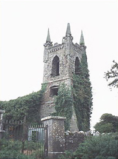 Rathaspick Churchchurch/chapel · 95 yd
 Enclosure in MilltownEnclosure · 820 yd
 Enclosure in Boley (ballyadams By.)Enclosure · 857 yd
 Bawn in MilltownBawn · 1042 yd
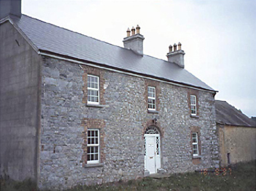 Milltown Househouse · 1069 yd
 Ballylehane CastleCastle, unclassified · 1266 yd
 DM PenderMemorial · 3.9 mi
 Brackney WoodForest · 5.0 mi
 Mass Rock WalkWalking route · 5.3 mi
 Cobbler's Castle WalkWalking route · 5.3 mi
 Gone FishingMemorial · 5.5 mi
 Town HallMuseum · 5.7 mi