What is recorded here
In pasture close to the townland boundary in the E corner of the townland, located on gently elevated ground flanked by small stream valleys at W and E.
A circular enclosure (diam. c. 30m) is shown on the 1838 OS 6-inch map, with a small circular feature, probably a limekiln, indicated in the centre of the interior. The enclosure is not shown on later map editions.
It has been levelled, but the ephemeral outline of a roughly circular area (diam. c. 30m) can still be traced, with a slight curving scarp at SW−N merging with the natural slope. A large boulder sits at the E edge of the area. A linear WNW−ESE feature, probably remnants of a field fence, crosses the S part of the enclosure. An old quarry pit (max. dim. c. 15m) abuts the SW edge of the enclosure and considerable surface disturbance is evident throughout the area.
Compiled by: Jane O’Shaughnessy
Date of upload: 25 August 2021
The monument record does not grant public access. Check the route and ask the landowner before entering private land.
- What survives
- Recorded monument
Places near here
 IndicatedFairy fort / earthen ringfort · 823 yd
 The Bungalowhouse · 1383 yd
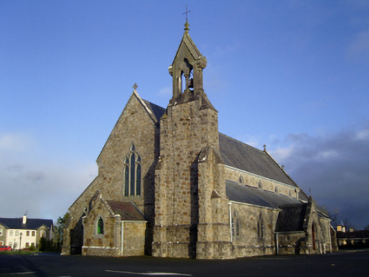 Catholic Church of the Immaculate Conception and Saint Josephchurch/chapel · 1440 yd
 Enclosure in BoholaEnclosure · 1479 yd
 Castle in ruinsCastle, tower house · 1.2 mi
 Shonagawna Castle in RuinsCastle, unclassified · 3.2 mi
 Michael DavittMemorial · 3.2 mi
 Thorn CaveCave · 3.6 mi
 I'll Send You The FareMemorial · 4.1 mi
 Carrowbeg WoodWood · 4.1 mi
 Kiltimagh MuseumMuseum · 4.3 mi
 Brabazon WoodsForest · 6.0 mi