What is recorded here
Marked as a T-shaped house (max. dims c. 15m NW-SE; c. 10m NE-SW) with a projection at the centre of the SW side and described as 'Bell Green' on the 1835 ed. of the OS 6-inch map. Davies (1948a, 117) recorded ruins known locally as 'Bruncott's Castle' here and suggested that this may be the site of a plantation castle built by James Archibald, but a castle is not recorded on the Down Survey barony map (1656-8) at Boagh (30). See this web-page accessed on 8 April, 2016: http://downsurvey.tcd.ie/down-survey-maps.php#bm=Tulloghgarvey&c=Cavan
There are no visible remains at ground level.
The above description is derived from the published 'Archaeological Inventory of County Cavan' (Dublin: Stationery Office, 1995). In certain instances the entries have been revised and updated in the light of recent research.
Date of revision: 11 April 2016
This remains an important historical record, but the official description says the monument is no longer visible or has been destroyed. The monument record does not grant public access. Check the route and ask the landowner before entering private land.
- What survives
- No visible remains or recorded as destroyed
Places near here
 Lisnagoon Bridgebridge · 1335 yd
 Annsfort MillsWood · 1405 yd
 St Patrick's Roman Catholic Churchchurch/chapel · 1577 yd
 Ann's FortArchaeological place · 1719 yd
 Giant GraveCourt tomb · 1759 yd
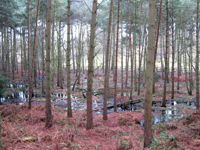 Lisdoagh Wet WoodlandWood · 1.1 mi
 Giant's GraveArchaeological place · 1.3 mi
 AghagashlanMountain / peak · 1.4 mi
 Graveyard in Drumgoon (clankee By.)Graveyard · 1.6 mi
 Small IslandIsland · 2.8 mi
 DrumbinnisMountain / peak · 2.9 mi
 CastleCastle, unclassified · 3.4 mi