
What is recorded here
In an area of improved pastureland. Marked on the 1933 edition of the OS 6-inch map as a large roughly circular field (diam. c. 90m) cut by a field wall at NW and SE. The monument, which appeared to be 'an ancient circular enclosure', along with a number of the adjacent field walls, was almost completely bulldozed away in the early 1960s and only two short sections of the ‘thick, tumbled stone rampart-segments’ survived at NW and SE, with ‘only very slight traces’ evident elsewhere (SMR file). No visible surface trace of the wall survives but a slight rise in the field level from NE to SE and again at SW clearly indicates its outline.
Compiled by: Galway Archaeological Survey, UCG
Date of upload: 26 August 2019
The monument record does not grant public access. Check the route and ask the landowner before entering private land.
- What survives
- Recorded monument
Places near here
 Dermot & Grania's BedArchaeological place · 1.0 mi
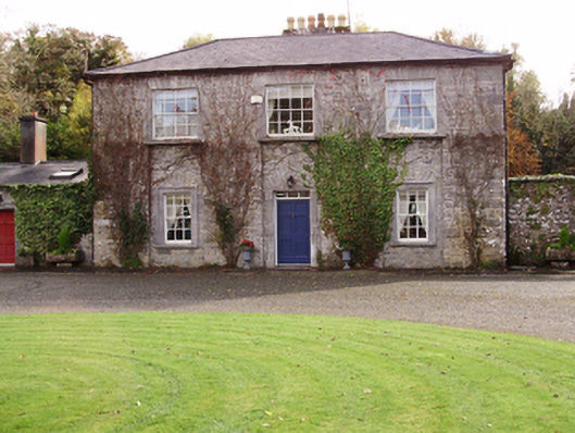 Saint Cleran'ssteward's house · 1.1 mi
 Enclosure in ColesgroveEnclosure · 1.2 mi
 Strongfort Castle (in ruins)Castle, tower house · 1.4 mi
 CarnanthomasCastle, unclassified · 1.4 mi
 Lickerrig Church (in ruins)Church · 1.5 mi
 Moyard WoodWood · 3.4 mi
 Blake's IslandIslet · 4.2 mi
 Ash IslandIslet · 4.7 mi
 Long PointHeadland · 5.4 mi
 Scalpeen RockNamed rock · 6.9 mi
 Kilcornan ForestWood · 7.3 mi
Other information
Photo: Credit not shown in the picture search · Rights wording not checked; contact us if this picture should be removed