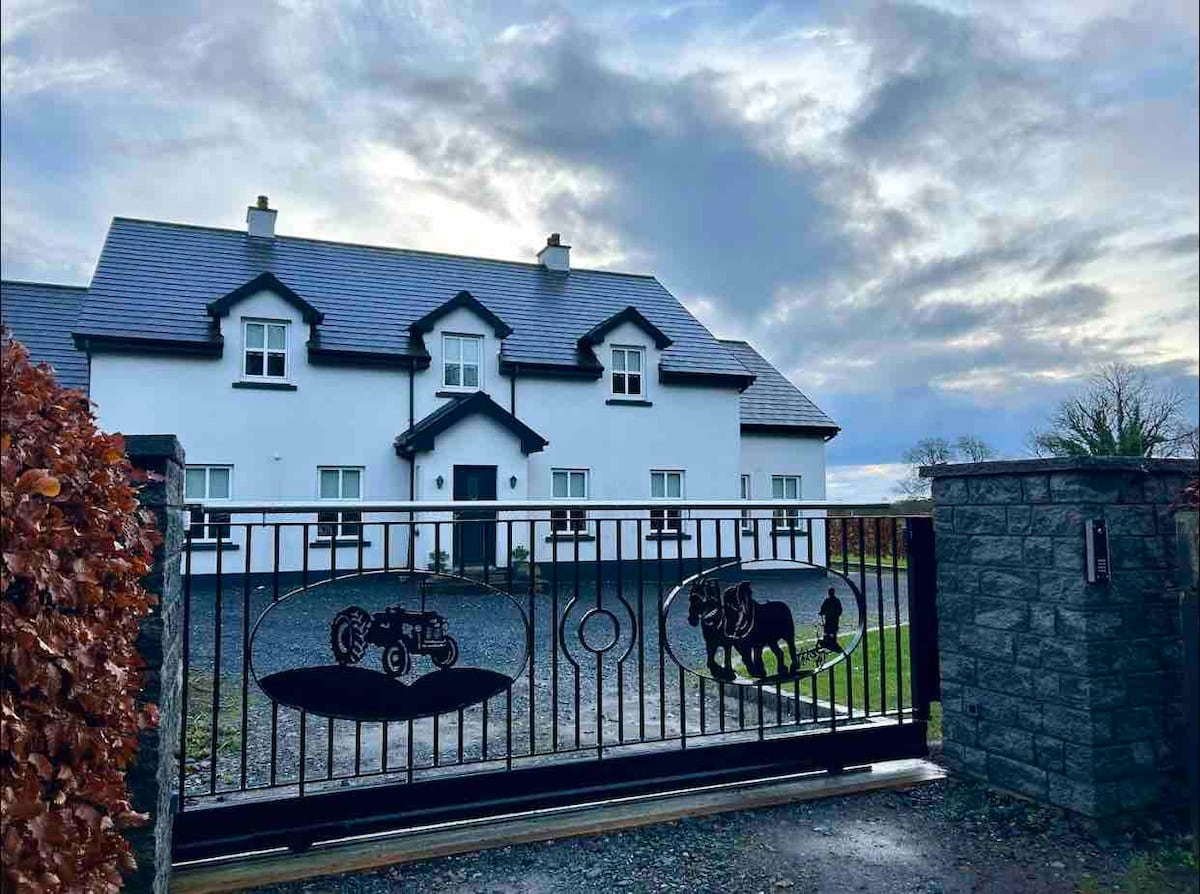
What is recorded here
Situated on a low rise in pasture-land on the landscaped demesne lands of Benison Lodge 500m to SW. Ringfort which appears to have been converted into a tree-ring in the post 1700 period as part of the landscaping of the lands around Benison Lodge. An oval-shaped area (dims. 30m NE-SW; 22m NW-SE) enclosed by a poorly preserved earth and stone bank, shallow fosse from NNE-E-SE and elsewhere by a narrow ledge, with an outer earthen bank at NE. A tree-covered outer bank of earth and stone encloses this monument at an average distance of 15m which appears to be the result of post-1700 landscaping when the ringfort was converted into a tree-ring. The interior of the ringfort rises towards the centre, and has traces of cultivation ridges which run NE-SW. Remains of a rectangular house site (WM007-033001-) visible in the NW quadrant.
Compiled by: Frank Coyne and Caimin O'Brien
Date of upload: 12 April 2017
A local fairy fort (ringfort/rath); wider significance not recorded.
The monument record does not grant public access. Check the route and ask the landowner before entering private land.
- What survives
- Recorded monument
Places near here
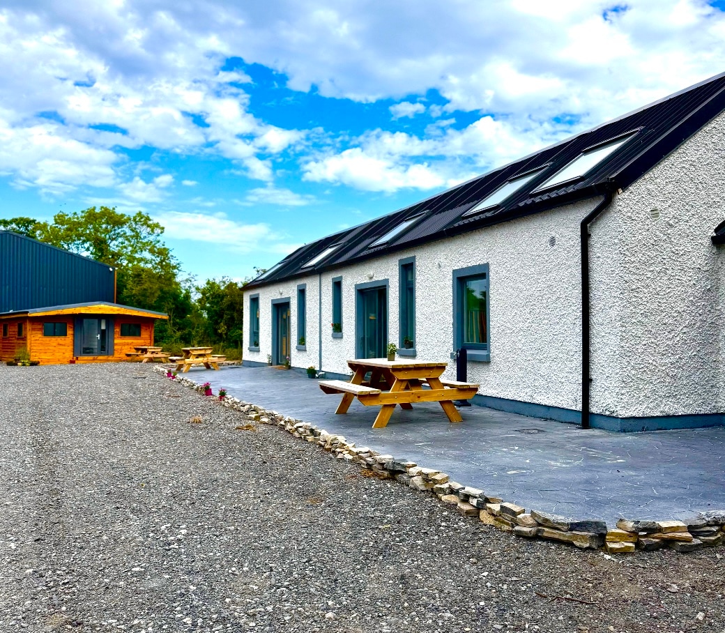 OutlinedFairy fort / earthen ringfort · 337 yd
 Enclosure in Milltown (fore By.)Enclosure · 1390 yd
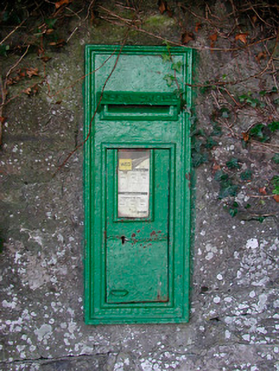 post boxpost box · 1707 yd
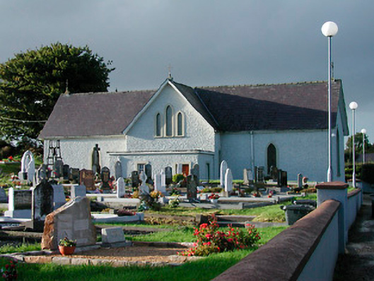 Catholic Church of Saint John the Baptistchurch/chapel · 1731 yd
 Bawn in KiltoomBawn · 2.0 mi
 Mortimer's CastleArchaeological place · 2.4 mi
 Silver FirSilver Fir · 2.6 mi
 Pedunculate OakPedunculate Oak · 2.6 mi
 South East GateHeritage attraction · 2.9 mi
 St Feichin's MillHeritage attraction · 2.9 mi
 Ben of ForeMountain / peak · 3.5 mi
 Bridge Memorial (Kenna)Memorial · 4.8 mi
Other information
Photo: Credit not shown in the picture search · Rights wording not checked; contact us if this picture should be removed