What is recorded here
Indicated is a circular enclosure on a north-facing Galway slope where mature trees once grew directly through the ancient bank. The fort likely predates those trees, meaning people may have lived beside or beneath roots that later men stripped for timber. The gap at the southwest remains unclear, perhaps a doorway or perhaps merely a place where the earth gave up. What is certain is that the site resisted forgetting long enough to be measured, named and recorded before the pasture swallowed the last of its shape.
On a N-facing slope in gently undulating pastureland. When inspected in January 1985 this poorly preserved circular enclosure (diam. 44m), known locally as a ‘fort’, was defined by a bank (base Wth 2.25m; int. H 0.25-0.3m; ext. H 1m) from ENE through S to NW and by a scarp from NW to ENE. A gap at SW appeared to be modern. Several mature trees were growing on the bank and disturbed sections of the enclosing element appeared to be the result of the uprooting of some of the trees. The current OSi aerial imagery indicates that the trees have since been removed from the monument. Possibly a rath that was subsequently reused as a tree-ring enclosure.
Compiled by: Galway Archaeological Survey, UCG
Date of upload: 15 February 2019
The monument record does not grant public access. Check the route and ask the landowner before entering private land.
- What survives
- Recorded monument
Places near here
 IndicatedSettlement cluster · 227 yd
 Quarry in Belview OR LissareaghaunQuarry · 1110 yd
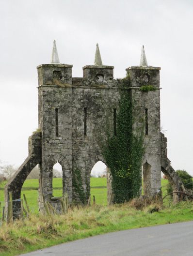 Belviewfolly · 1448 yd
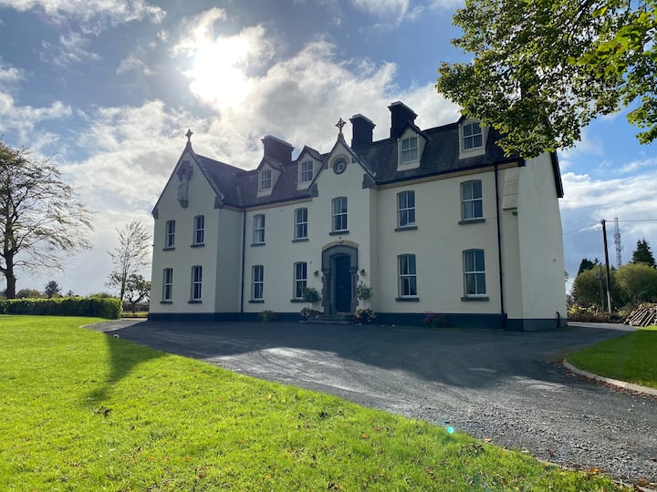 LissawaddaFairy fort / earthen ringfort · 1538 yd
 Oghil Castle (in ruins)Castle, tower house · 1.1 mi
 Ballymore CastleCastle, tower house · 1.3 mi
 Silver FirSilver Fir · 1.3 mi
 European YewEuropean Yew · 1.6 mi
 Redmond HillMountain / peak · 2.9 mi
 Ardcarn IslandsIslet · 4.3 mi
 Urraghry HillMountain / peak · 5.1 mi
 The bloody HollowHeritage attraction · 5.4 mi