What is recorded here
No surface remains visible. Described in 1977 as a destroyed earthwork of which 'There is no trace of an antiquity here now. There is an area of gently sloping ground, facing south' (SMR file 1977). Depicted on the 1838 edition of the OS 6-inch map as a circular grove of trees on the landscaped grounds of Bellair House which is located 200m to the NE. Probably a tree-ring associated with the landscaping of the demesne of Bellair House.
The above description is derived from the published 'Archaeological Inventory of County Offaly' (Dublin: Stationery Office, 1997). In certain instances the entries have been revised and updated in the light of recent research.
Compiled by Caimin O'Brien
Date of upload/revsion: 20 December 2011
This remains an important historical record, but the official description says the monument is no longer visible or has been destroyed. The monument record does not grant public access. Check the route and ask the landowner before entering private land.
- What survives
- No visible remains or recorded as destroyed
Places near here
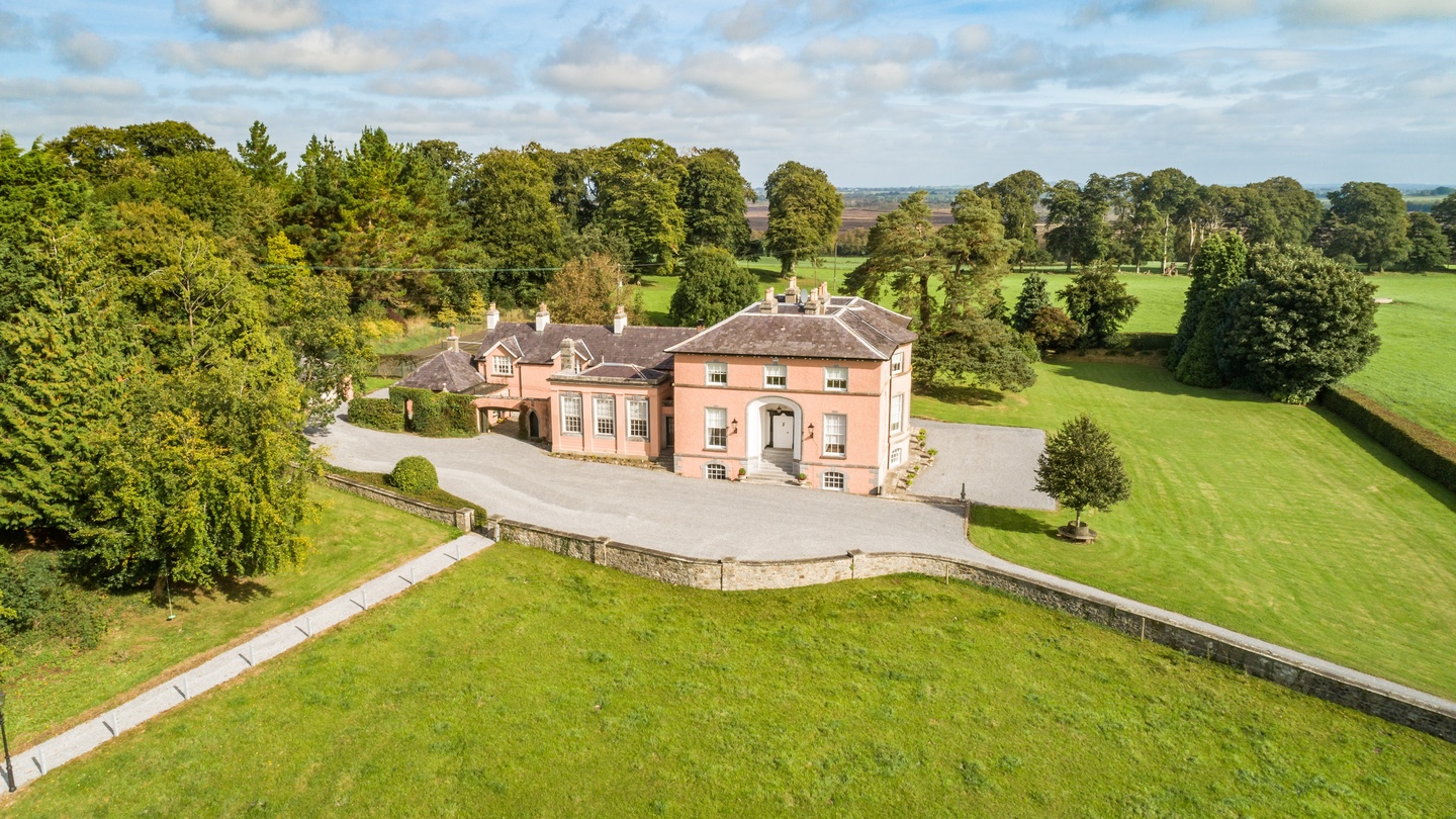 Bellair Housecountry house · 253 yd
 Crannog in SpringparkCrannog · 782 yd
 IndicatedFairy fort / earthen ringfort · 970 yd
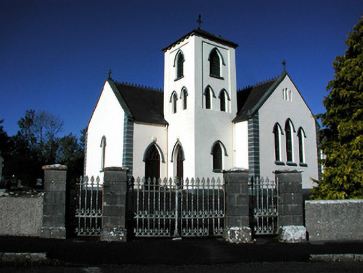 Saint Manchin's Catholic Churchchurch/chapel · 1594 yd
 Castle ArmstrongHouse, fortified house · 1.2 mi
 Kilnagarnagh Old Ho.Castle, unclassified · 2.7 mi
 Moate HillMountain / peak · 4.0 mi
 The Bob Traynor GalleryGallery · 4.1 mi
 Charles BianconiMemorial · 4.1 mi
 Dún na SíMuseum · 4.5 mi
 European ashEuropean ash · 4.8 mi
 Cocta HillMountain / peak · 5.0 mi