What is recorded here
In pasture, located at S end of a N-S ridge. There is a slight rise in ground level to N, restricting views, but there are good views to E, S and W.
Slightly raised, oval or roughly circular area (estimated diam. 25-30m) enclosed NNW–NE by an earthen bank (Wth 4.2m; int. H 0.85m; ext. H 1.50 at N), which is incorporated into a field fence at E. Elsewhere the bank is reduced to a scarp (H 0.6m at S). A few stones protrude from the internal face of the bank. A low section of scarp (Wth c. 2m) at SE may indicate the original entrance. Large boulders set against the external face of the bank at N appear to be the result of field clearance. The rath is engulfed in blackthorn, hawthorn and brambles, which impeded inspection.
Compiled by: Jane O’Shaughnessy
Date of upload: 13 September 2019
The monument record does not grant public access. Check the route and ask the landowner before entering private land.
- What survives
- Recorded monument
Places near here
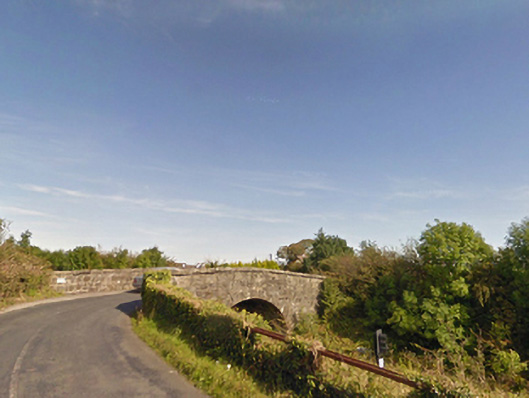 bridgebridge · 679 yd
 IndicatedFairy fort / earthen ringfort · 1291 yd
 Dolmen of the four MaolsArchaeological place · 1.1 mi
 Ballina Railway Stationrailway station · 1.2 mi
 CastleCastle, unclassified · 1.4 mi
 Gull IslandIslet · 1.6 mi
 Battle of Ballinabattle · 1.7 miHumbert MonumentMemorial · 1.8 mi
 Belleck CastleCastle, unclassified · 2.3 mi
 The Marshall Doran CollectionGallery · 3.1 mi
 Belleek WoodsWood · 3.2 mi
 FloretteWreck · 3.3 mi