What is recorded here
In pasture, on crest of low rise. Remains consist of a raised circular-shaped area (diam. 34m) defined by a scarp reused as an earth and stone field boundary (Wth 1.4m; int. H 0.25m; ext. H 1.2m). Interior level, dry and clear of overgrowth. Gap (Wth 3.55m) in bank at SSW. Field boundaries radiate out from the enclosure at E and NW. Cropmark of circular-shaped enclosure (diam. c. 30m) visible on Google Earth orthoimage taken 20/01/2020.
See attached sketch plan and Google Earth orthoimages
Compiled by: Caimin O'Brien
Date of upload: 27 October 2021
The monument record does not grant public access. Check the route and ask the landowner before entering private land.
- What survives
- Recorded monument
Places near here
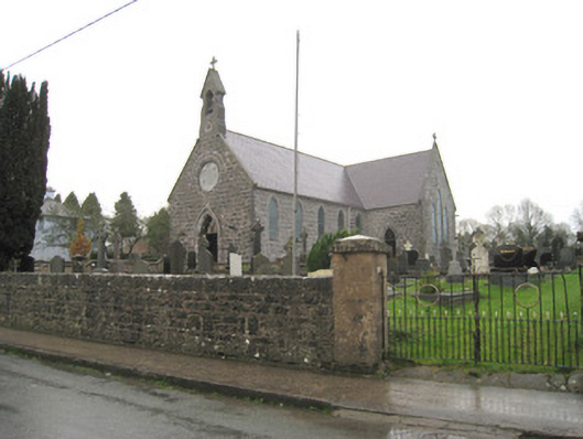 Saint Joseph's Catholic Churchchurch/chapel · 320 yd
 Burial GroundBurial ground · 404 yd
 Kilbeheny Church (in ruins)Church · 522 yd
 Grave YardGraveyard · 538 yd
 Kilbeheny Castle (in ruins)Castle, tower house · 1491 yd
 Coopers WoodWood · 2.5 mi
 Eagles StepCliff · 2.6 mi
 Seefin North TopMountain / peak · 3.2 mi
 CastleCastle, ringwork · 3.2 mi
 Combaun WoodsViewpoint · 3.3 mi
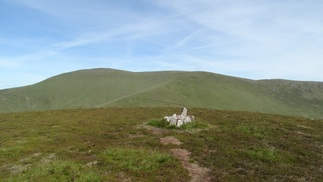 MonabrackMountain / peak · 3.5 mi
 John MandevilleMemorial · 3.6 mi