What is recorded here
In grassland atop low rise of ground with good views in all directions. Only a short section of NW bank (H 0.4m; L 10m; top Wth 2m; base Wth 4m) is visible of semi-cicular enclosure which is depicted on the first ed. OS 6-inch map as such, the enclosing element depicted from S through W to NW only.
Compiled by: Jean Farrelly
Date of upload: 26 August 2011
The monument record does not grant public access. Check the route and ask the landowner before entering private land.
- What survives
- Recorded monument
Places near here
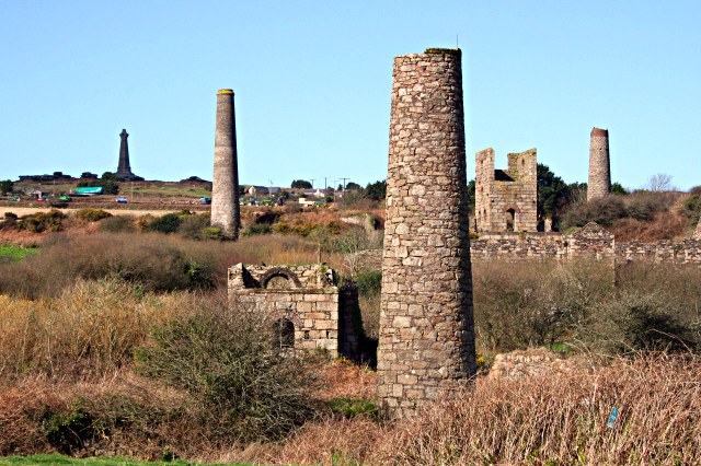 Site of Shanspaur (site of)Castle, unclassified · 1197 yd
 ShanspaurArchaeological place · 1205 yd
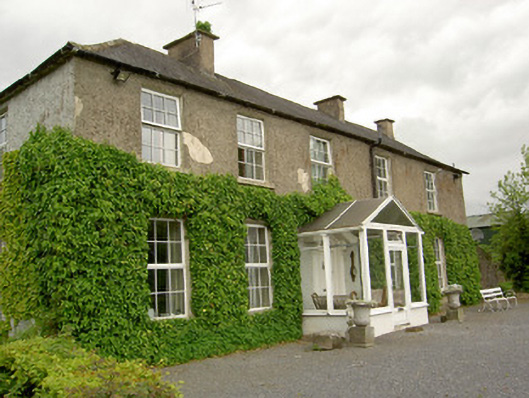 Ardmayle Housecountry house · 1238 yd
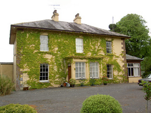 Ballymore Housecountry house · 1264 yd
 IndicatedEnclosure · 1303 yd
 CastleCastle, unclassified · 1736 yd
 Wych ElmWych Elm · 3.0 mi
 European ashEuropean ash · 3.4 mi
 Hore AbbeyHeritage attraction · 4.2 mi
 Ballyknock HillMountain / peak · 4.2 mi
 Rock of CashelHeritage attraction · 4.3 mi
 The Rock Of CashelVisitor information · 4.3 mi