What is recorded here
Marked on the 1st ed. (1838) of the OS 6-inch map as a Trigonometrical Station (OD 935 feet) and described in 1955 as a high, circular mound (H 2.5m; diam. 15.5m) with a small depression in the upper surface (SMR database). While it may well have been erected as a Trigonometrical Station, there is the possibility that a pre-existing hilltop mound may have been adapted to that purpose.
Compiled by: Gearóid Conroy
Date of upload: 24 July 2012
The monument record does not grant public access. Check the route and ask the landowner before entering private land.
- What survives
- Recorded monument
Places near here
 Enclosure in RussboroughEnclosure · 851 yd
 National Bird of Prey CentreHeritage attraction · 1210 yd
 Artisans WorkshopsHeritage attraction · 1220 yd
 Russborough Housecountry house · 1228 yd
 IndicatedCastle, tower house · 1264 yd
 Enclosure in GlashinaEnclosure · 1.1 mi
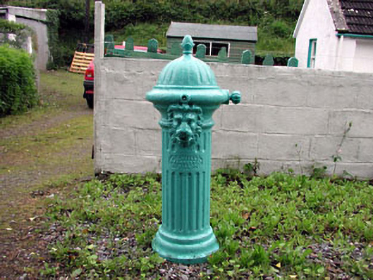 water pumpwater pump · 1.3 mi
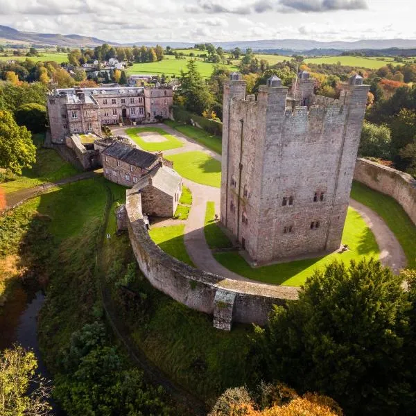 CastleCastle, ringwork · 1.6 mi
 Councillor Jim MileyMemorial · 2.3 mi
 Proclamation of the Irish RepublicMemorial · 2.3 mi
 Deer Park PlantationForest · 2.4 mi
 Blessington DemesneWood · 2.5 mi