What is recorded here
Indicated is a vanished Galway stone fort, reduced to a furze-covered scar where a curving wall once bit the western scrubland. Men built a round chamber large enough for thirty paces, then left it to the briars. The stones did not break; they surrendered, dragging the sky down until the fort disappeared into green darkness.
In level scrubland. Classified by McCaffrey (1952, 280-81, no. 2) as a circular ‘Stone fort’ (diam. c. 35m) defined by a drystone wall. All that survives is a furze-covered area with traces of a curving cashel-like wall at W.
Compiled by: Galway Archaeological Survey, UCG
Date of upload: 6 January 2017
The monument record does not grant public access. Check the route and ask the landowner before entering private land.
- What survives
- Recorded monument
Places near here
 Enclosure in CaherateigeEnclosure · 904 yd
 Castle (in ruins)Castle, Anglo-Norman masonry castle · 907 yd
 Windmill StumpWindmill · 916 yd
 Ardrahan Churchchurch/chapel · 1001 yd
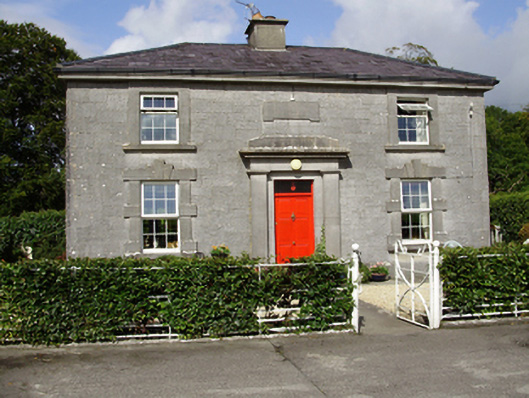 Castle Taylorsteward's house · 1058 yd
 Cloghroak Castle (in ruins)Castle, tower house · 2.1 mi
 Drumharsna CastleHeritage attraction · 2.2 mi
 HawthornHawthorn · 3.5 mi
 European ashEuropean ash · 3.5 mi
 Drumacoo Monastic SiteHeritage attraction · 4.7 mi
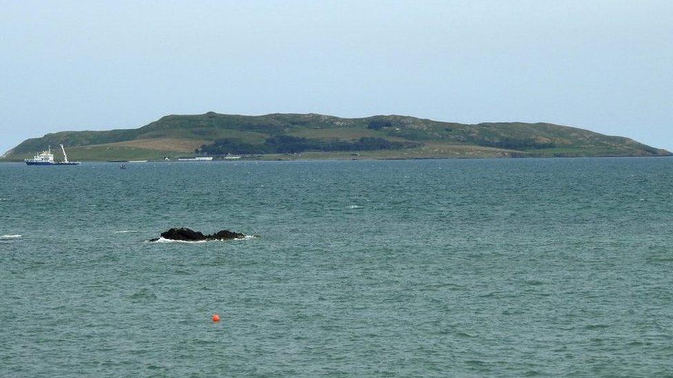 Lambs IslandIslet · 8.5 mi
 Goose IslandIslet · 8.7 mi