
What is recorded here
Prominently sited near the S end of a low plateau in tillage overlooking the Barrow valley to the SW. A circular area (diam. 36m) is defined by a low earthen bank but with no obvious trace of a fosse (although traces of a fosse were visible in 1955 (Danaher 1955, no. 674)).
Date of upload: 8 September 2016
The monument record does not grant public access. Check the route and ask the landowner before entering private land.
- What survives
- Recorded monument
Places near here
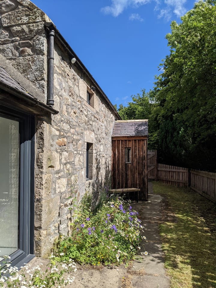 Enclosure in Barnhill EastEnclosure · 449 yd
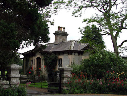 Prumplestown Housegate lodge · 1257 yd
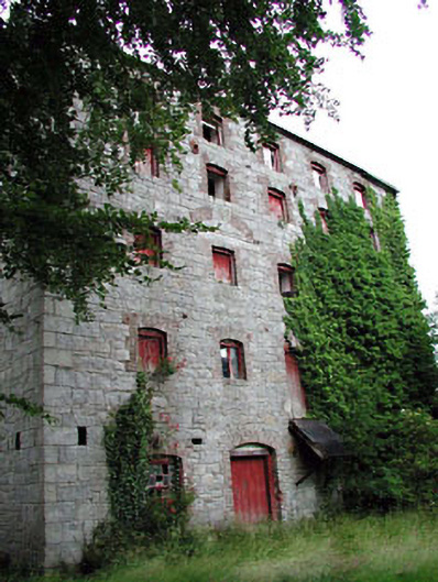 Prumplestown Millmill (water) · 1364 yd
 Gorteen MoundCastle, unclassified · 1.2 mi
 ProclamationMemorial · 1.3 mi
 Franciscan FriaryHeritage attraction · 1.3 mi
 Castledermot Round TowerHeritage attraction · 1.5 mi
 OutlinedCastle, unclassified · 2.5 mi
 Oak Park Forest ParkWood · 2.7 mi
 Lorcán Ó TuathailMemorial · 3.1 mi
 Mullaghreelan WoodForest · 3.3 mi
Other information
Photo: Credit not shown in the picture search · Rights wording not checked; contact us if this picture should be removed