What is recorded here
Indicated is an unclassified ringfort in County Mayo, Ireland. Its exact age and purpose remain unknown, but the buried shape suggests people once drew a boundary around a home, a shrine or a warning. The land may have held a family, a hermit or a forgotten troop, all of them reduced to a shallow curve beneath the grass.
The Archaeological Survey of Ireland (ASI) is in the process of providing information on all monuments on The Historic Environment Viewer (HEV). Currently the information for this record has not been uploaded. To access available information for research purposes please make an appointment in advance with the Archive Unit (open Fridays 10.00 am – 5.00 pm), Department of Housing, Local Government and Heritage, The Custom House, Dublin 1 D01W6XO or email NMarchive@housing.gov.ie.
The monument record does not grant public access. Check the route and ask the landowner before entering private land.
- What survives
- Recorded monument
Places near here
 IndicatedEnclosure · 861 yd
 French Hill MonumentMemorial · 1748 yd
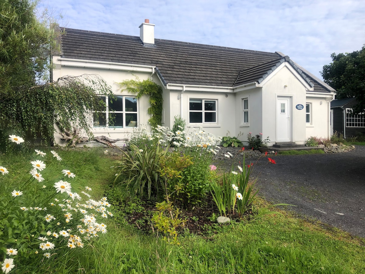 Enclosure in Lissaniska (carra By., Drum Par.)Enclosure · 1.2 mi
 Elmhall Church in ruinsChurch · 1.3 mi
 Breaffy WoodsWood · 1.3 mi
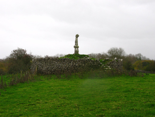 monumentmonument · 1.4 mi
 Black mulberryBlack mulberry · 1.5 mi
 Site of CastleCastle, unclassified · 2.7 mi
%20(1).jpg) Guesdian CastleCastle · 2.9 mi
Guesdian CastleCastle · 2.9 mi 1798 MemorialMemorial · 3.4 mi
 Battle of CastlebarMajor battlefield · 3.6 mi
 National Museum of Ireland, Country LifeMuseum · 4.5 mi