What is recorded here
One of a complex of burial and ritual sites which occupy an area 150m by 130m on a patch of uneven elevated pasture overlooked from the NW by Slieve Glah (CV026-004004-, CV026-004003-, CV026-004006-, CV026-004002-, CV026-004005-). Stone circle (int, diam. c. 16m). The W half survives and is represented by seven set stones rising at intervals from a low grassy bank (Wth 3.5m; H 0.5m).
The above description is derived from the published 'Archaeological Inventory of County Cavan' (Dublin: Stationery Office, 1995). In certain instances the entries have been revised and updated in the light of recent research.
Date of upload/revision: 22 December 2008
This monument is subject to a preservation order made under the National Monuments Acts 1930 to 2014 (PO no. 8/1972).
Probably dating to the Late Neolithic or Early Bronze Age, this standing stone is likely associated with burial or ritual activity, part of a broader ceremonial landscape linked to nearby monuments. Its alignment or positioning may have had astronomical or symbolic significance, though specific folklore or use remains undocumented.
The monument record does not grant public access. Check the route and ask the landowner before entering private land.
- What survives
- Recorded monument
Places near here
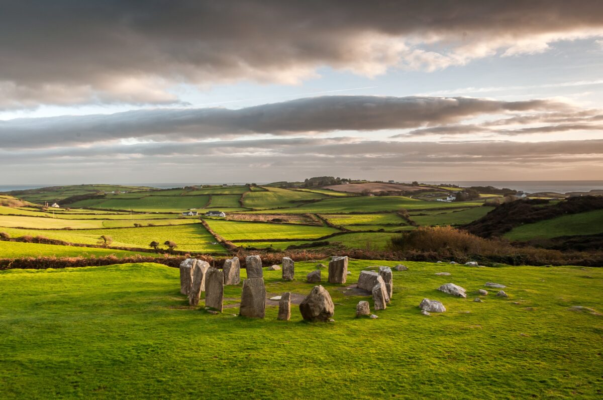 Stone CircleArchaeological place · 85 yd
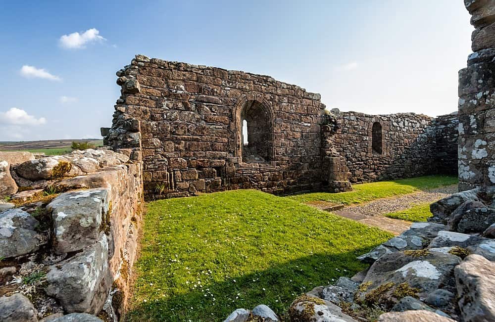 Enclosure in BanagherEnclosure · 166 yd
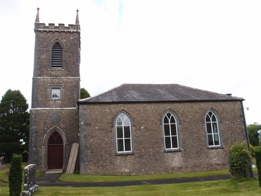 Denn Churchchurch/chapel · 1718 yd
 Dennmore or LeggandennMountain / peak · 1.2 mi
 Aghalackan EastMountain / peak · 1.8 mi
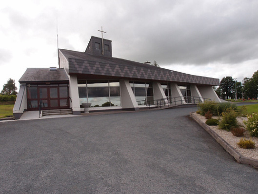 St Dymphna's Roman Catholic Churchchurch/chapel · 1.8 mi
 Derry ForestForest · 2.1 mi
 Carricknagore RockNamed rock · 2.2 mi
 Ancient Order of Hibernians MemorialMemorial · 2.2 mi
 Ardkill ForestForest · 2.4 mi
 Bawn in MoynehallBawn · 3.0 mi
 Raven's RockNamed rock · 3.2 mi