What is recorded here
In pasture, located on a rise in gently undulating terrain.
Circular area (21m E–W; 21m N–S) enclosed by a substantial stone bank (Wth 6m; int. H 1m; ext. H 1m) evident as a broad, partly sod-covered spread of stones. At NNW a short section of drystone walling is visible on the inner face, suggesting that the stone bank is the remains of a collapsed wall. The interior is relatively level and not noticeably raised above exterior ground level. There is a gap (Wth 3.7m) in the stone bank at N.
The enclosure was incorporated into a system of later field walls, one of which on a roughly E–W axis bisects the S half of the interior. Walls which intersected with the enclosure at N and S, have been removed.
The perimeter ringed with hawthorn and scrub. There is a rath (MA038-075----) and children’s burial ground (MA038-075001-) 160m to SW.
Compiled by: Jane O'Shaughnessy
Date of upload: 1 August 2019
The monument record does not grant public access. Check the route and ask the landowner before entering private land.
- What survives
- Recorded monument
Places near here
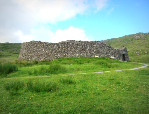 Skehanagh FortArchaeological place · 207 yd
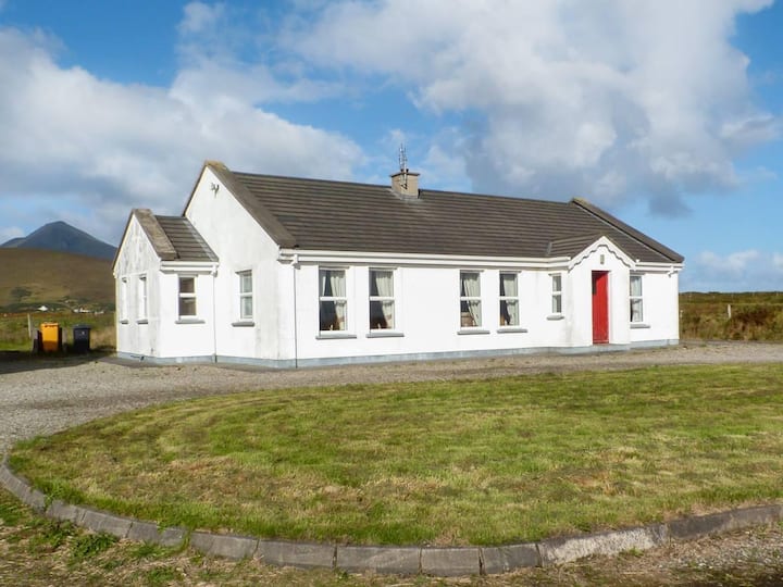 Enclosure in BallyvicmahaEnclosure · 542 yd
 Church in ruinsChurch · 1616 yd
 Catholic Church of Our Ladychurch/chapel · 1617 yd
 RathmoreCastle, motte · 1705 yd
 Ballyduffy CastleCastle, unclassified · 1.3 mi
 Grave of the KingsArchaeological place · 1.4 mi
 Titanic Memorial ParkMemorial · 2.2 mi
 Castle IslandIslet · 2.5 mi
 Roe IslandIslet · 2.8 mi
 NephinMountain / peak · 3.2 mi
 KnockaffertaghMountain / peak · 6.6 mi