What is recorded here
Indicated is a low circular enclosure on a Clare hilltop where a drystone wall and mossy bank still mark the seam between ancient fort and modern pasture. Westropp called it Caheraoisin and claimed gates faced east and west, but only a broken ring of stone and scrub remains visible today. The missing sections may have fed nearby field boundaries or simply dissolved under feet and rain, yet the intact arc still draws the eye around its hollow center.
Just E off the summit a low hill, in pasture. Recorded as a large circular enclosure on the first edition (1842) of the OS 6-inch map, and similarly hachured and named ‘Caheroisin’ on the later OS 25-inch plan (1897) and on the Cassini edition (1920) of the OS 6-inch map. The name was spelt ‘Caheraoisin’ by Westropp (1896, 369) who recorded that this ‘fort’ was defined by an enclosing element of earth and stones and had ‘gates’ at the E and the W. The upstanding remains of this poorly preserved enclosure only survive from NE-SE-SW where the original enclosing element has been incorporated into a later field boundary. When inspected in 1999, this comprised a drystone wall (Wth 0.5m; int. H 0.5-1m; ext. H 1m) and hedge. A short stretch of original outer wall-face (H 1m) survived at S and there was a moss-covered stony bank (Wth 2m; int. H 0.4m) between SE and S. The perimeter in this area (SE-S-SW) was overlain with scrub-covered spoil and a gap (Wth. 4m) at S was blocked with overgrowth and timber debris. The levelled remains of a bank were visible from SSW-W-N and there was a slight scarp between N and NE. Westropp (ibid.) also observed an old road leading to the W entrance. A track is marked on the first edition (1842) of the OS 6-inch map and on the OS 25-inch plan (1897) running NW from the WNW edge of the enclosure. The track’s remains are faintly visible in satellite imagery (MapGenie Imagery 2013-2018). The enclosure’s interior is generally level, except for the N sector which slopes down to the N. The full circuit of the monument is visible on Google Earth aerial imagery (14-9-2009) where the line of the levelled enclosing element is preserved as a low scarp running from SSE-W-NE.
See attached image: CL017-082----_01 Snip of Google Earth aerial image (14-9-2009)
Compiled by: Gearóid Conroy and Conn Herriott
Date of upload: 22 August 2023
The monument record does not grant public access. Check the route and ask the landowner before entering private land.
- What survives
- Recorded monument
Places near here
 Killvoydan Church (in ruins)Church · 445 yd
 CrossCross · 455 yd
 IndicatedEnclosure · 759 yd
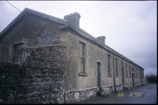 The Old Workhouseworkhouse · 961 yd
 Ballyporty Castle (in ruins) / TowerCastle, tower house · 1016 yd
 Rock IslandIsland · 1.4 mi
 Inchiquin IslandIslet · 1.5 mi
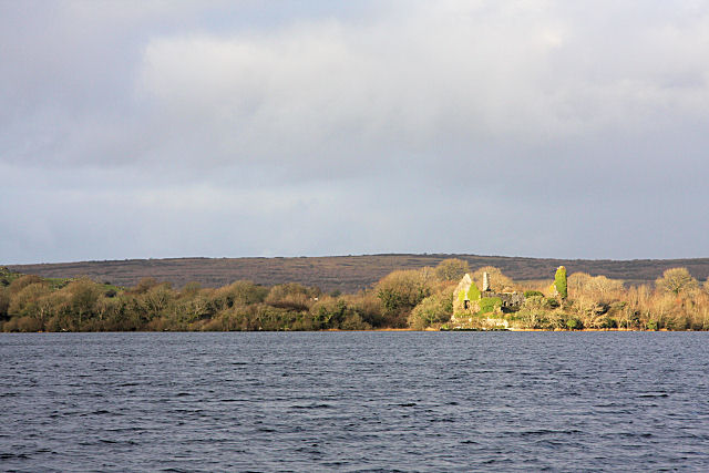 Inchiquin Castle (in ruins)Castle, tower house · 1.7 mi
 Battle of TullyodeaBattlefield · 1.8 mi
 Burren National ParkVisitor information · 3.2 mi
 Fergus River CaveCave · 3.3 mi
 Ballygriffy WoodWood · 3.6 mi