
What is recorded here
Indicated was a circular ringfort nearly thirty metres across on a sunny Clare slope, mapping its presence before human hands forgot it. A field wall and spoil heap buried the northern edge, yet satellite imagery still reveals a faint curving bank where the south perimeter resisted erasure. The land kept its shape long after memory failed, waiting for eyes sharp enough to read what ordinary footsteps had smoothed away.
On a S-facing slope in pasture. Depicted on the first edition (1842) of the OS map as a circular ringfort (est. diam. c. 28m) and hachured on the Cassini edition (1920) of the OS 6-inch map. When inspected in 1998, this levelled enclosure was not traceable at ground level. A later WNW-ESE running field wall overlay its N perimeter and a large spoil heap covered its NW edges. The enclosure’s perimeter from SE-S is visible in satellite imagery (MapGenie Imagery 2013-2018) as a faint curving grass-covered bank. A second levelled enclosure (CL017-081----) lies c. 110m to the SE
Compiled by: Gearóid Conroy and Conn Herriott
Date of upload: 22 August 2023
The monument record does not grant public access. Check the route and ask the landowner before entering private land.
- What survives
- Recorded monument
Places near here
 Ballyporty Castle (in ruins) / TowerCastle, tower house · 1492 yd
 Ballyportry Castlecastle/fortified house · 1492 yd
 Tullan FortFairy fort / stone ringfort · 1582 yd
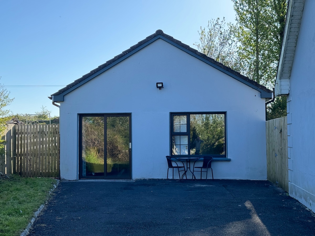 Enclosure in CoadEnclosure · 1.1 mi
 Coad Churchchurch/chapel · 1.1 mi
 Castle (in ruins)Castle, tower house · 1.3 mi
 Rock IslandIsland · 1.6 mi
 Inchiquin IslandIslet · 1.7 mi
 Burren National ParkVisitor information · 2.0 mi
 Fergus River CaveCave · 2.6 mi
 Battle of TullyodeaBattlefield · 2.9 mi
 Mullagh MoreMountain / peak · 3.4 mi
Other information
Photo: Credit not shown in the picture search · Rights wording not checked; contact us if this picture should be removed