
What is recorded here
Indicated was a ringfort in County Clare, drawn on maps from 1842 to 1920 but gone by 1999. It may have been a home, a boundary marker or a mistake, yet it occupied the landscape long enough to be measured and remembered. The land reclaimed its shape, leaving behind only the possibility that people once lived inside a circle now erased.
In undulating reclaimed pasture with some nearby thickets of dense hazel. Depicted on the first edition (1842) of the OS 6-inch map as a ringfort - an enclosed subcircular area (est. diams. c. 30m NW-SE; c. 28m NE-SW) - and indicated on the OS 25-inch plan (1897) and Cassini edition (1920) of the OS 6-inch map. When inspected in 1999, no surface traces were visible.
Compiled by: Gearóid Conroy and Conn Herriott
Date of upload: 22 August 2023
The monument record does not grant public access. Check the route and ask the landowner before entering private land.
- What survives
- Recorded monument
Places near here
 Enclosure in KilvoydanEnclosure · 948 yd
 Ballyporty Castle (in ruins) / TowerCastle, tower house · 991 yd
 Ballyportry Castlecastle/fortified house · 991 yd
 Killvoydan Church (in ruins)Church · 1001 yd
 ToberinneenboyHoly well · 1179 yd
 Rock IslandIsland · 1.1 mi
 Inchiquin IslandIslet · 1.2 mi
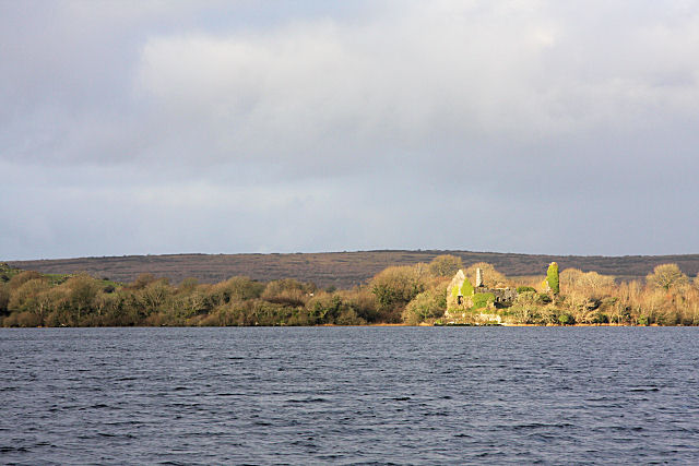 Inchiquin Castle (in ruins)Castle, tower house · 1.4 mi
 Battle of TullyodeaBattlefield · 2.2 mi
 Fergus River CaveCave · 2.9 mi
 Burren National ParkVisitor information · 3.0 mi
 Father Ted's HouseHeritage attraction · 4.0 mi
Other information
Photo: Credit not shown in the picture search · Rights wording not checked; contact us if this picture should be removed