
What is recorded here
On the S-facing slope of a broad E-W ridge in pasture, offering wide views. Indicated on the first edition (1842) of the OS 6-inch map and hachured on the OS 25-inch plan (1897) and Cassini edition (1920) of the OS 6-inch map. This large overgrown subcircular enclosure (69m E-W; 60m N-S) is defined from ESE-S-SW by a possibly partly natural scarp (Wth c. 1-2m; H 1.2-2.2m), overlying rock outcrop at S where the scarp overlooks several derelict 18/19th-century houses. From SW-W-NW, the original enclosing bank is overlain by a later drystone wall (H 0.8-1m). A farm track (Wth 3.9m) runs inside it, and there is a grass-covered spread of stones (Wth 10.5m; H 0.3-0.5m) inside again, to E. The track continues S from the SW edge of the cashel. The collapsed remains of what was probably a later double-faced field wall (Wth 2m; H 0.6-0.8m) overlie the possible vestiges of the enclosing bank from NW-NE-ESE. In the NE quadrant of the heavily overgrown interior and abutting its perimeter, is a rectangular enclosure (int. dims. 22.4m NW-SE; 18.8m NE-SW) defined by a band of stone collapse (Wth 1.7m; H 0.8m) along the W and by a scarp (H 0.3-0.8m) along the S.
Compiled by: Gearóid Conroy and Conn Herriott
Date of upload: 22 August 2023
The monument record does not grant public access. Check the route and ask the landowner before entering private land.
- What survives
- Recorded monument
Places near here
 IndicatedEnclosure · 399 yd
 ToberinneenboyHoly well · 1025 yd
 Ballyporty Castle (in ruins) / TowerCastle, tower house · 1104 yd
 Ballyportry Castlecastle/fortified house · 1105 yd
 Killvoydan Church (in ruins)Church · 1396 yd
 Rock IslandIsland · 1.0 mi
 Inchiquin IslandIslet · 1.1 mi
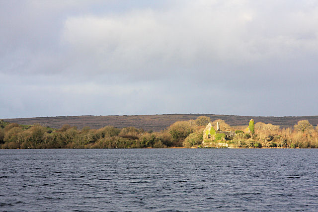 Inchiquin Castle (in ruins)Castle, tower house · 1.2 mi
 Battle of TullyodeaBattlefield · 2.5 mi
 Fergus River CaveCave · 2.7 mi
 Burren National ParkVisitor information · 2.8 mi
 Father Ted's HouseHeritage attraction · 3.8 mi
Other information
Photo: Credit not shown in the picture search · Rights wording not checked; contact us if this picture should be removed