
What is recorded here
Indicated is a broken earthen ring in Cork pasture, its fifteen-metre arc still standing where a larger circle likely vanished beneath fields or forgetting. The bank rises one metre outside and dips inside, tilting slightly to balance the gentle slope. Cattle may have walked the same grass for centuries while the true shape slept under soil and shadow. What is missing does not stop the place existing; it invites imagination to complete the circle.
In pasture, on gentle W-facing slope. Hachured arc depicted on 1842 OS 6-inch map, in SE corner field; possible NW quadrant of large circular enclosure. Arc (C 15.5m) survives, formed by earthen bank (int. H 0.3m; ext. H 1m) SW->NNW; slight scarp to SW. Abuts field fence to E running NNW-SSE; no visible surface trace of enclosure on E side of field fence. Interior raised slightly on W side to compensate for hillslope. Possible Man-made underground passage (CO078-029---) in interior.
The above description is derived from the published 'Archaeological Inventory of County Cork. Volume 2: East and South Cork' (Dublin: Stationery Office, 1994). In certain instances the entries have been revised and updated in the light of recent research.
Date of upload/revision: 14 January 2009
The monument record does not grant public access. Check the route and ask the landowner before entering private land.
- What survives
- Recorded monument
Places near here
 IndicatedHouse, vernacular house · 203 yd
 Ring Househouse · 694 yd
 Enclosure in BallymacodaEnclosure · 1060 yd
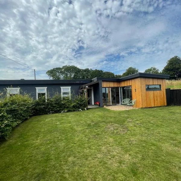 Enclosure in GlenawillingEnclosure · 1147 yd
 Ballymacoda Castle (Site of)Castle, Anglo-Norman masonry castle · 1.3 mi
 Glebe IslandIslet · 1.8 mi
 Capel IslandIslet · 2.2 mi
 Inchiquin Castle (in Ruins)Castle, Anglo-Norman masonry castle · 3.4 mi
 Lady's WellSpring · 4.3 mi
 Garryvoe BeachBeach / strand · 4.7 mi
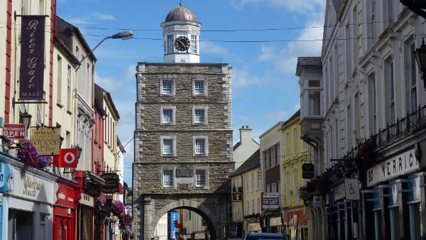 Slí na Sláinte YoughalWalking route · 4.9 mi
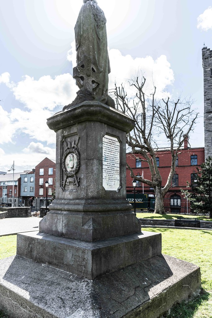 1798 MemorialMemorial · 5.1 mi
Other information
Photo: Credit not shown in the picture search · Rights wording not checked; contact us if this picture should be removed