What is recorded here
In pasture, on steep N-facing hill slope below ridge. Ovoid area (58m NE-SW; 64m SE-NW) enclosed by earthen bank (int. H 0.8m; ext. H 1.1m), with external stone-facing N->SSE. Naturally occurring hillock (H 12.4m) with much eroded and sheer N face, rises sharply to SW of centre; lowers at S where it meets higher ground. Interior under rough pasture with a concentration of mature deciduous trees on N hillock face. Field boundaries abut external face of bank at N and SSE respectively. Enclosure shown planted with trees on 1841 OS 6-inch map and its location adjacent to demesne of Ballynoe House suggests it probably a landscape feature.
Compiled by: Denis Power
Date of upload: 26 August 2011
The monument record does not grant public access. Check the route and ask the landowner before entering private land.
- What survives
- Recorded monument
Places near here
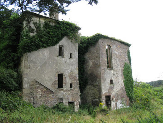 Ballynoe Housecountry house, stables · 571 yd
 Enclosure in Ballynoe (connello Upper By., Ballynoe Ed)Enclosure · 887 yd
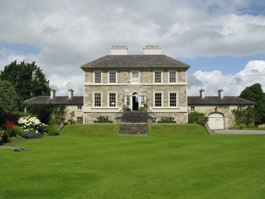 Ballyneale Housecountry house · 1124 yd
 Enclosure in Castletown (connello Upper By.)Enclosure · 1171 yd
 IndicatedCastle, motte · 1.3 mi
 Castle (in ruins)Castle, hall-house · 1.4 mi
 Our Lady's WellSpring · 1.4 mi
 Saint Derivla's WellSpring · 2.6 mi
 Famine stoneMemorial · 2.8 mi
 KnockfeerinaMountain / peak · 2.9 mi
 National Co-op MuseumMuseum · 7.3 mi
 St Patricks WellHoly well · 1.0 mi