What is recorded here
Indicated is a fairy fort in County Limerick, Ireland. The earthwork still stands in reclaimed pasture beside the road that marks the townland boundary with Treanmanagh. Its bank, ditch and causewayed gap remain visible, though a later field boundary cut through the northeast edge. The area is locally known as Palatine, and the fort sits within that same remembered landscape.
In reclaimed pasture 25m W of road that marks the townland boundary with Treanmanagh. Earthwork (LI033-095----) 85m to NW. Not depicted as an antiquity on 1840 ed. OSi 6-inch map but shown as an irregular-shaped field (dims. 41m N-S, 22m E-S) defined by a field boundary within landscaped field system associated with the estate lands of Derk House to N and Ballyneety House to S. The area immediately to N and E is annotated ‘Palatine Street’.
Depicted on OSi 25-inch map as a circular-shaped area (dims. 34m NW-SE, 30m NE-SW) enclosed by a bank truncated at NE by L shaped post-1700 field boundary. Surveyed by the ASI in 2007 and described as a roughly circular-shaped area (dims. 25m NW-SE, 22m NE-SW) defined by a scarp (Wth 3.5m; H 0.75m) with fosse (Wth 7.4m; D 0.65m) and outer bank (Wth 4m; int. H 0.65m; ext. H 0.5m) visible from ESE-N only. Causewayed gap (Wth 9m) at ENE with further beaches (Wth 4m; 1.8m) at SE and WSW respectively. Fosse best preserved from SE-S-W-N. Outer bank denuded from SW-W-N.
Monument described in 1960-4 as follows; ‘Platform 93 feet (28.3m) in diameter and 3 feet 6 inches (1.1m) high. Encircling ditch 9 feet (2.7m) wide and with a 12 feet (3.65m) wide outer bank. This earthwork is very well preserved. Marked on the O.S. map where adjacent area is named ‘Palatine Street’; the district is locally known as Palatine’ (O’Dwyer 1964, 95; Ballyneety North 59). Partially overgrown monument truncated by field boundary at NE visible on OSi orthophoto taken between 2005-12 and on Google Earth orthoimage dated 18/11/2018.
See attached Google Earth orthoimages and profile of monument drawn by O'Dwyer 1964
Compiled by: Martin Fitzpatrick
Date of upload: 30 March 2021
The monument record does not grant public access. Check the route and ask the landowner before entering private land.
- What survives
- Recorded monument
Places near here
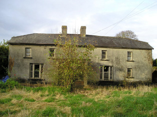 Derk Cottagehouse · 270 yd
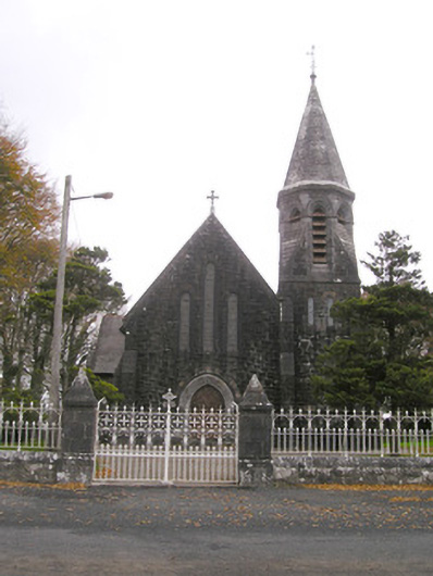 Saint Brigid's Catholic Churchchurch/chapel · 699 yd
 Site of Ballyneety CastleCastle, unclassified · 724 yd
 Enclosure in Ballyneety SouthEnclosure · 994 yd
 Grave YardGraveyard · 1011 yd
 RathardCastle, ringwork · 1676 yd
 St. Patrick's WellSpring · 3.0 mi
 Kilteely HillMountain / peak · 3.1 mi
 KnockseefinMountain / peak · 3.1 mi
 Flat cemetery in Knockainy WestFlat cemetery · 6.3 mi
 St Patrick's WellSpring · 7.1 mi
 Ballinvreena LoopVisitor information · 10 mi